Aston Rowant Cutting
Map
![Aston Rowant Cutting location map](https://tzmedia.b-cdn.net/media/images/static-maps/gb/51_6621_-0_94336.jpg)
Map
![Aston Rowant Cutting location map](https://tzmedia.b-cdn.net/media/images/static-maps/gb/51_6621_-0_94336.jpg)
Facts and practical information
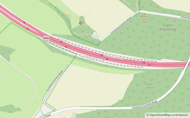
Aston Rowant Cutting is a 3.5-hectare geological Site of Special Scientific Interest south of Aston Rowant in Oxfordshire. It is a Geological Conservation Review site. ()
Coordinates: 51°39'44"N, 0°56'36"W
Day trips
Aston Rowant Cutting – popular in the area (distance from the attraction)
Nearby attractions include: Cowleaze Wood, Stokenchurch BT Tower, Aston Rowant Woods, Aston Rowant National Nature Reserve.