Northern Ireland War Memorial, Belfast
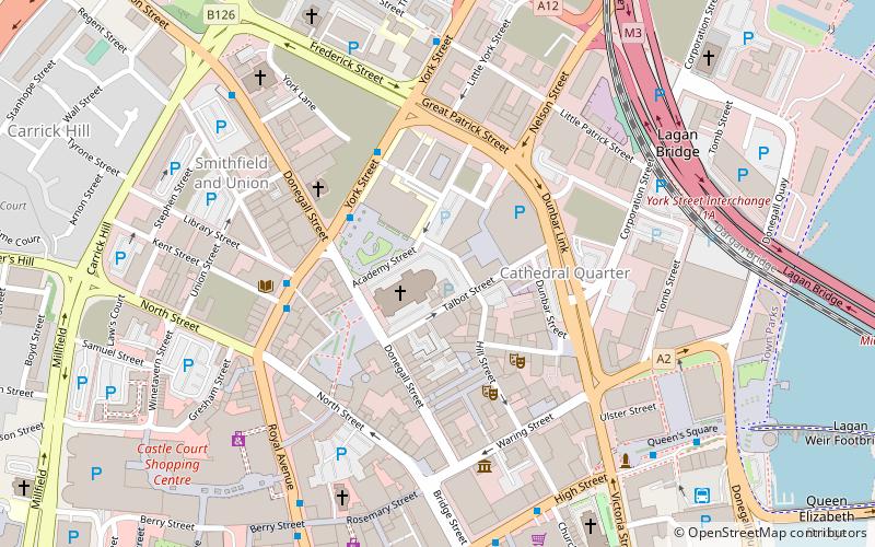
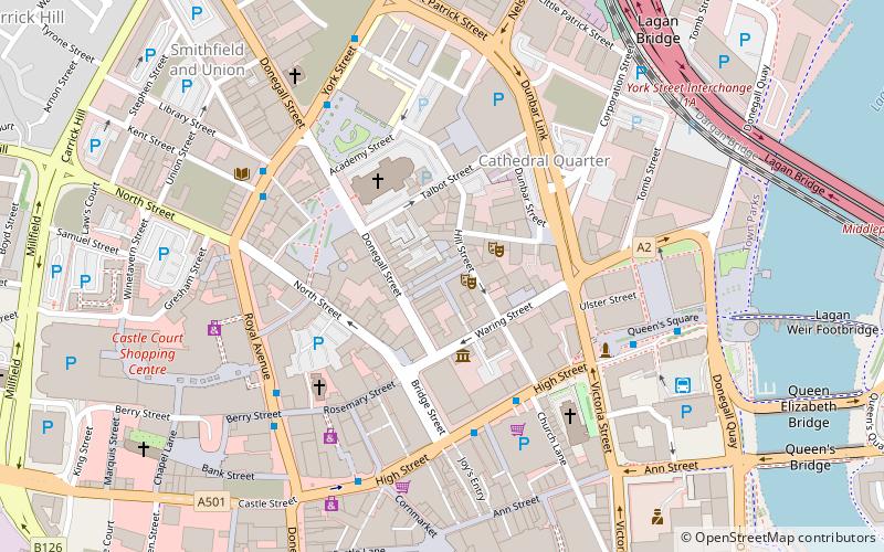
Map
Facts and practical information
The Northern Ireland War Memorial also called NI War Memorial and War Memorial was opened in 2007 in Talbot Street, Belfast, Northern Ireland. It replaced an earlier building called Memorial House which was located in Waring Street on a site which was bombed during the Blitz in 1941. It contains the Home Front Exhibition and the first national memorial to the hundreds killed in the Belfast blitz, created by Carolyn Mulholland. ()
Established: 2007 (19 years ago)Coordinates: 54°36'11"N, 5°55'41"W
Getting there by public transportation
Public transportation stops near this location
- Bus
- Train
 Bus
Bus
- Calculate routeLaganside Bus Centre 7 min walk
- Calculate routeDonegall Place 10 min walk
- Calculate routeBelfast 18 min walk
- Calculate routeEuropa Bus Centre 18 min walk
- Calculate routeYorkgate 15 min walk
- Calculate routeBelfast Lanyon Place 18 min walk
- Calculate routeBelfast - Great Victoria Street 18 min walk
- Calculate routeTitanic Quarter 23 min walk
Day trips
Northern Ireland War Memorial – popular in the area (distance from the attraction)
Nearby attractions include: CastleCourt, The Big Fish, Kelly's Cellars, Albert Memorial Clock.


Frequently Asked Questions (FAQ)
When is Northern Ireland War Memorial open?
Northern Ireland War Memorial is open:
- Monday 10 am - 4:30 pm
- Tuesday 10 am - 4:30 pm
- Wednesday 10 am - 4:30 pm
- Thursday 10 am - 4:30 pm
- Friday 10 am - 4:30 pm
- Saturday closed
- Sunday closed
Which popular attractions are close to Northern Ireland War Memorial?
Nearby attractions include Spire of Hope, Belfast (1 min walk), St Anne's Cathedral, Belfast (1 min walk), Metropolitan Arts Centre, Belfast (2 min walk), Cathedral Quarter, Belfast (3 min walk).
How to get to Northern Ireland War Memorial by public transport?
The nearest stations to Northern Ireland War Memorial:
Bus
Train
Bus
- Laganside Bus Centre (7 min walk)
- Donegall Place • Lines: 1G (10 min walk)
Train
- Yorkgate (15 min walk)
- Belfast Lanyon Place (18 min walk)