St Mary's Church, Belfast
Map
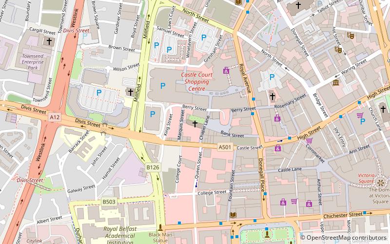
Map

Facts and practical information
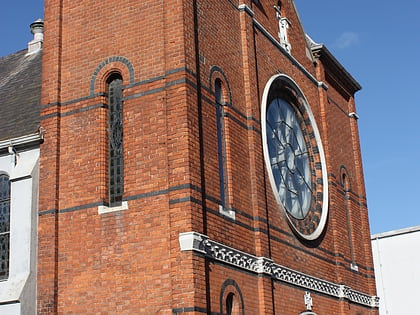
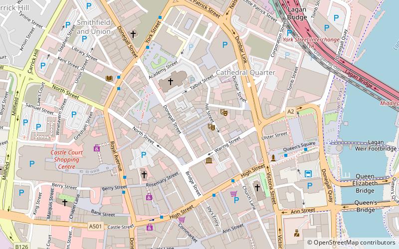
St. Mary's Church, Belfast is a Roman Catholic church located in Chapel Lane/Smithfield area of Belfast, Northern Ireland. It is mother church for the city and a mensal parish and was opened on this site in 1784. At the time, it was the only Roman Catholic church in the then town of Belfast after the relaxation of some of the Penal Laws. The church grounds contain an undistinguished grotto dedicated to Our Lady of Lourdes. ()
Coordinates: 54°35'59"N, 5°55'60"W
Day trips
St Mary's Church – popular in the area (distance from the attraction)
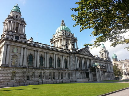
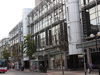
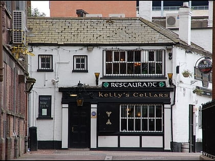
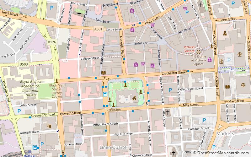
Nearby attractions include: City Hall, CastleCourt, Kelly's Cellars, Royal Exchange.
Frequently Asked Questions (FAQ)
Which popular attractions are close to St Mary's Church?
Nearby attractions include PLACE Built Environment Centre, Belfast (4 min walk), Red Barn Gallery, Belfast (4 min walk), Linen Hall Library, Belfast (5 min walk), City Hall, Belfast (6 min walk).
How to get to St Mary's Church by public transport?
The nearest stations to St Mary's Church:
Bus
Train
Bus
- Donegall Place • Lines: 1G (5 min walk)
- Belfast • Lines: X1, X2A (10 min walk)
Train
- Belfast - Great Victoria Street (11 min walk)
- Belfast Lanyon Place (19 min walk)
