Grovely Wood
#3505 among destinations in the United Kingdom
![Grovely Wood location map](https://tzmedia.b-cdn.net/media/images/static-maps/gb/51_1068_-1_93401.jpg)
Facts and practical information
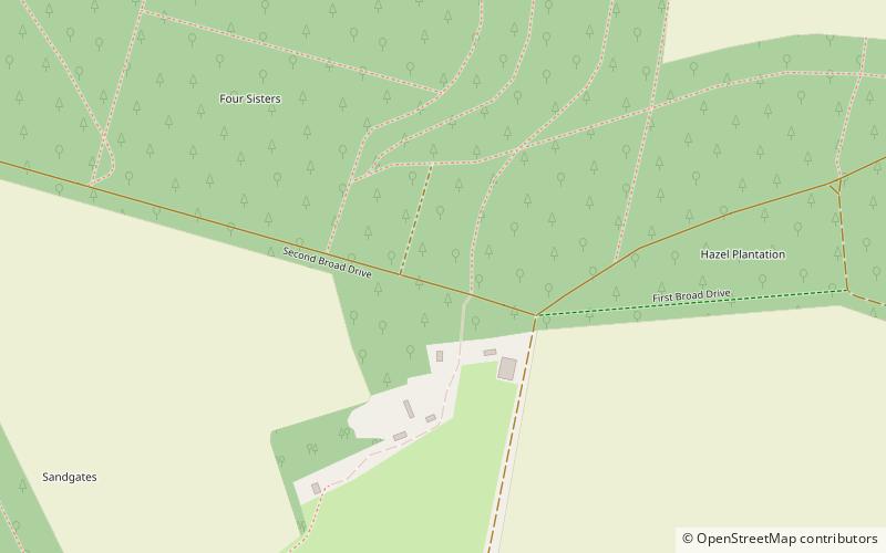
Grovely Wood is one of the largest woodlands in southern Wiltshire, England. It stands on a chalk ridge above the River Wylye in Barford St Martin parish, to the southwest of the village of Great Wishford, within the Cranborne Chase and West Wiltshire Downs Area of Outstanding Natural Beauty. The Sarum Way enters the wood. ()
EnglandUnited Kingdom
Grovely Wood plan & book
Unleash the traveler in you — discover the cheapest flight deals, find the perfect hotel or hostel nearby, and search for the best car rental prices. Travel at your own pace to discover new places and enjoy your journey.
Grovely Wood – popular in the area (distance from the attraction)
Nearby attractions include: Wilton House, St Lawrence, Bush Barrow, Normanton Down Barrows.
3.9 miSEStately home with a major art collectionWilton House
100 min walk • Nestled in the lush Wiltshire countryside, Wilton House stands as an enduring testament to British architectural grandeur and aristocratic taste. This stately home, with its origins dating back to the 1540s, is not only a museum but also a living piece of history...
5.2 miEChurchSt Lawrence, Salisbury
134 min walk • St Lawrence's Church at Stratford-sub-Castle is a Grade I listed Church of England parish church, situated to the north of Salisbury. It stands close to the abandoned settlement of Old Sarum and about 2 miles north of Salisbury Cathedral.
6.1 miNEArchaeological siteBush Barrow, Stonehenge
157 min walk • Bush Barrow is a site of the early British Bronze Age, at the western end of the Normanton Down Barrows cemetery. It is among the most important sites of the Stonehenge complex, having produced some of the most spectacular grave goods in Britain.
6.3 miNEArchaeological siteNormanton Down Barrows, Stonehenge
160 min walk • Normanton Down is a Neolithic and Bronze Age barrow cemetery located about 0.6 miles south of Stonehenge in Wiltshire, England.
4.2 miSWMemorialFovant Badges
106 min walk • The Fovant Badges are a set of regimental badges cut into a chalk hill, Fovant Down, near Fovant, in southwest Wiltshire, England. They are located between Salisbury and Shaftesbury on the A30 road in the Nadder valley; or approximately 1⁄2 mile southeast of Fovant.
5.6 miSEChurchSt Mary & St Lawrence's Church
142 min walk • The Church of St Mary & St Lawrence in the village of Stratford Tony, south Wiltshire, England, was built in the 13th century. It stands on the south bank of the River Ebble, accessed from the north down a lane, across the river and up a bank.
6.4 miNENature, Natural attraction, HillSalisbury Plain, Stonehenge
163 min walk • Salisbury Plain is a chalk plateau in the south western part of central southern England covering 300 square miles. It is part of a system of chalk downlands throughout eastern and southern England formed by the rocks of the Chalk Group and largely lies within the county of Wiltshire, but stretches into Hampshire.
5.6 miEChurchOld Sarum Cathedral, Salisbury
143 min walk • Old Sarum Cathedral was a Catholic and Norman cathedral at old Salisbury, now known as Old Sarum, between 1092 and 1220. Only its foundations remain, in the northwest quadrant of the circular outer bailey of the site, which is located near modern Salisbury, Wiltshire, in the United Kingdom.
3.9 miNArchaeological siteYarnbury Castle
101 min walk • Yarnbury Castle is the site of a multiphase, multivallate Iron Age hillfort near the village of Steeple Langford, Wiltshire, England.
6.4 miSEAreaHarnham, Salisbury
163 min walk • Harnham is a suburb of the city of Salisbury in Wiltshire, England, centred about 0.6 miles south of Salisbury Cathedral and across the River Avon. Harnham is split into the areas of West Harnham and East Harnham.
6.7 miNEArchaeological siteCursus Barrows, Stonehenge
172 min walk • The Cursus Barrows is the name given to a Neolithic and Bronze Age round barrow cemetery located mostly south of the western end of the Stonehenge Cursus. The cemetery contains around 18 round barrows scattered along an east-to-west ridge, although some of the mounds are no longer visible.