Holderness Drain, Kingston upon Hull

Facts and practical information
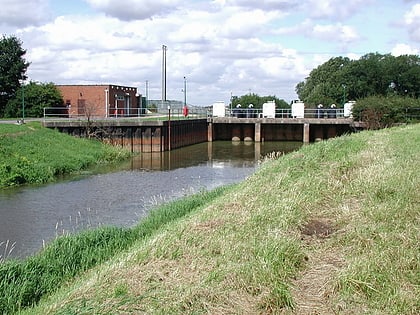
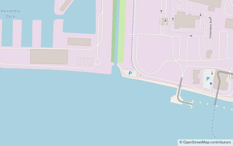
Holderness Drain is the main feature of a Land Drainage scheme for the area of Holderness to the east of the River Hull in the East Riding of Yorkshire, England. Construction began in 1764, and several notable civil engineers were involved with the scheme over the years. Despite the high costs of the initial scheme, it was not particularly successful, because of the refusal of the ship owners of Hull to allow an outlet at Marfleet. They insisted that the water be discharged into the River Hull to keep the channel free of silt. Following a period of agricultural depression and the building of new docks in the early 1800s, an outlet at Marfleet was finally authorised in 1832. A high level system still fed upland water to the Hull, but the low level system discharged into the Humber, where levels were considerably lower. Following the success of steam pumping on the Beverley and Barmston Drain, the trustees looked at such a possibility for the Holderness Drain, but the development of the Alexandra Dock in the 1880s and then the King George V Dock in 1913 provided a solution, as the docks were topped up with water pumped from the drain, to lessen the ingress of silt-laden water. ()
Kingston upon Hull
Holderness Drain – popular in the area (distance from the attraction)
Nearby attractions include: Hull and East Riding Museum, Streetlife Museum of Transport, The Deep Aquarium, Wilberforce Way.
Frequently Asked Questions (FAQ)
How to get to Holderness Drain by public transport?
Bus
- Holderness Road Victor Street • Lines: 99 (34 min walk)
