Bat's Castle, Exmoor National Park

Map
Facts and practical information
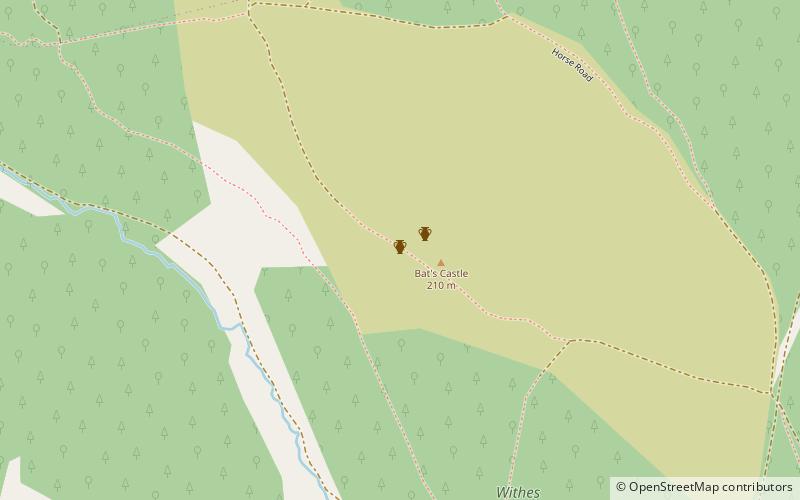
Bats Castle is an Iron Age hill fort at the top of a 213 metres high hill in the parish of Carhampton south south west of Dunster in Somerset, England. ()
Coordinates: 51°10'9"N, 3°26'56"W
Day trips
Bat's Castle – popular in the area (distance from the attraction)
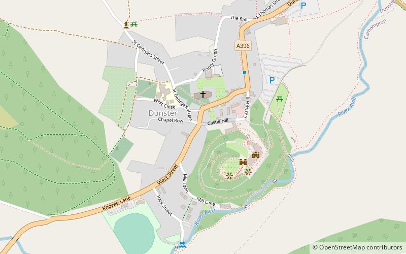
Nearby attractions include: Dunster Castle, Luttrell Arms, Dunster Working Watermill, Gallox Bridge.
Frequently Asked Questions (FAQ)
Which popular attractions are close to Bat's Castle?
Nearby attractions include Long Wood Enclosure, Exmoor National Park (10 min walk), Black Ball Camp, Dunster (11 min walk), Gallox Bridge, Dunster (18 min walk), Dunster Castle, Dunster (23 min walk).


