Luttrell Arms, Dunster
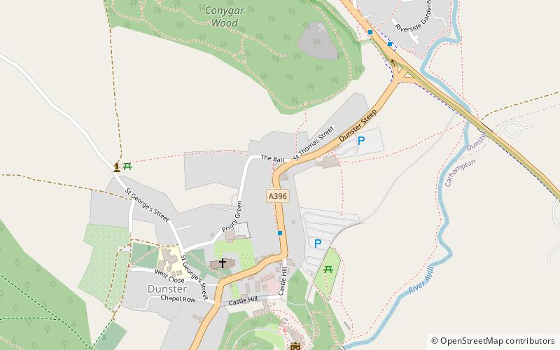
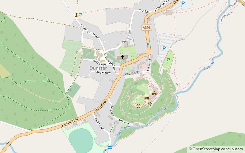
Map

Map

Facts and practical information
The Luttrell Arms in Dunster, Somerset, England was built in the late 15th century and is located in the centre of the medieval town of Dunster. The building has been designated as a Grade II* listed building since 22 May 1969. The original building has been enlarged over the years by addition of further wings. It is now used as a hotel. ()
Coordinates: 51°11'6"N, 3°26'39"W
Day trips
Luttrell Arms – popular in the area (distance from the attraction)
Nearby attractions include: Dunster Castle, Dunster Working Watermill, Gallox Bridge, Priory Church of St George.
Frequently Asked Questions (FAQ)
Which popular attractions are close to Luttrell Arms?
Nearby attractions include Yarn Market, Dunster (1 min walk), Dunster Dovecote, Dunster (4 min walk), Priory Church of St George, Dunster (4 min walk), Conygar Tower, Dunster (4 min walk).
How to get to Luttrell Arms by public transport?
The nearest stations to Luttrell Arms:
Train
Train
- Dunster (16 min walk)


