Lowerhouse Cricket Club, Burnley
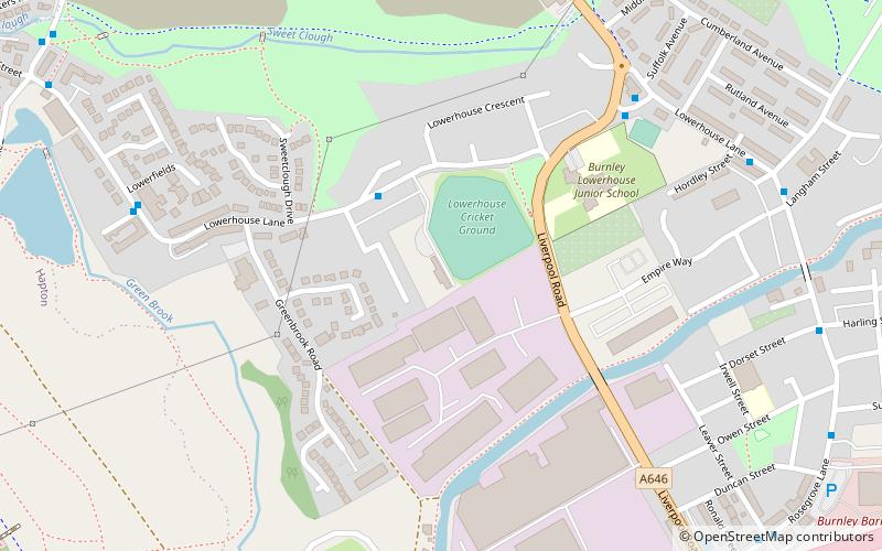
Map
Facts and practical information
Lowerhouse Cricket Club is a cricket club in the Lancashire League, which plays its home games at The Brooks Foundation Ground on Liverpool Road in Burnley. ()
Coordinates: 53°47'24"N, 2°17'19"W
Getting there by public transportation
Public transportation stops near this location
- Bus
- Train
 Bus
Bus
- Calculate routeLowerhouse Fold 3 min walk
- Calculate routeLane Ends Hotel 6 min walk
- Calculate routeHealth Centre 7 min walk
- Calculate routeMills 7 min walk
- Calculate routeRose Grove 10 min walk
- Calculate routeHapton 34 min walk
Day trips


Frequently Asked Questions (FAQ)
Which popular attractions are close to Lowerhouse Cricket Club?
Nearby attractions include Moorhouse's Brewery, Burnley (21 min walk), Gawthorpe Hall, Padiham (24 min walk).
How to get to Lowerhouse Cricket Club by public transport?
The nearest stations to Lowerhouse Cricket Club:
Bus
Train
Bus
- Lowerhouse Fold • Lines: 64, 65 (3 min walk)
- Lane Ends Hotel • Lines: 5, 64, 65 (6 min walk)
Train
- Rose Grove (10 min walk)
- Hapton (34 min walk)