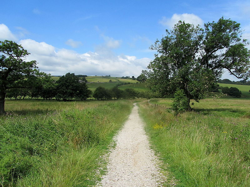
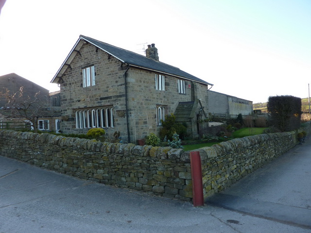
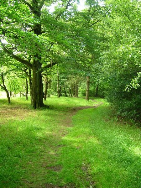
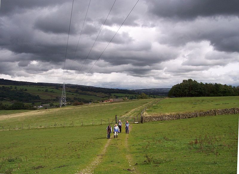
Ightenhill, Burnley

Gallery (7)
Map

Map

Gallery
Facts and practical information
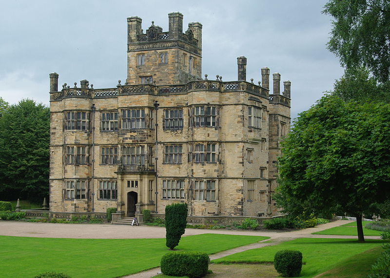
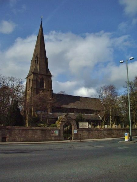
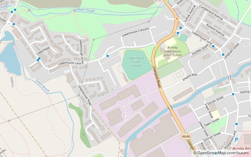
Ightenhill is a civil parish in the Borough of Burnley in Lancashire, England, with a population of 1,975. ()
Address
Burnley
ContactAdd
Social media
Add
Getting there by public transportation
Public transportation stops near this location
- Bus
- Train
 Bus
Bus
- Calculate routeCastlerigg Drive 10 min walk
- Calculate routeGrisedale Drive 12 min walk
- Calculate routeSt Mary Magdalene's RCPS 14 min walk
- Calculate routeLockyer Avenue 15 min walk
- Calculate routeBurnley Barracks 28 min walk
- Calculate routeBurnley Central 34 min walk
Day trips


Frequently Asked Questions (FAQ)
How to get to Ightenhill by public transport?
The nearest stations to Ightenhill:
Bus
Train
Bus
- Castlerigg Drive • Lines: 14 (10 min walk)
- Grisedale Drive • Lines: 14 (12 min walk)
Train
- Burnley Barracks (28 min walk)
- Burnley Central (34 min walk)