Pakenham Water Mill, Ixworth

Gallery (1)
Map
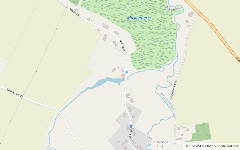
Map
Facts and practical information
Pakenham Water Mill (address: Water Mill Farm, Mill Road, Pakenham) is a place located in Ixworth (England kingdom) and belongs to the category of sightseeing.
It is situated at an altitude of 102 feet, and its geographical coordinates are 52°17'21"N latitude and 0°50'19"E longitude.
Among other places and attractions worth visiting in the area are: Mickle Mere (park, 2 min walk), Bardwell Windmill, Bury St Edmunds (historical place, 70 min walk), Thurston (village, 76 min walk).
Coordinates: 52°17'21"N, 0°50'19"E
Day trips