Cossington Meadows

Gallery (1)
Map
Map
Facts and practical information
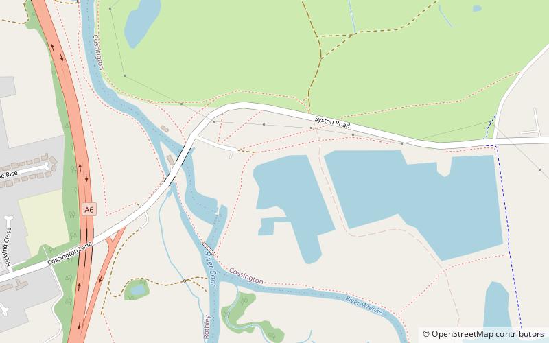
Cossington Meadows is an 88.9 hectares nature reserve west of Cossington in Leicestershire. It is managed by the Leicestershire and Rutland Wildlife Trust. ()
Elevation: 167 ft a.s.l.Coordinates: 52°42'40"N, 1°7'5"W
Location
England
ContactAdd
Social media
Add
Day trips


