Rothley Temple
Map
![Rothley Temple location map](https://tzmedia.b-cdn.net/media/images/static-maps/gb/52_7062_-1_14751.jpg)
Map
![Rothley Temple location map](https://tzmedia.b-cdn.net/media/images/static-maps/gb/52_7062_-1_14751.jpg)
Facts and practical information
Rothley Temple, or more correctly Rothley Preceptory, was a preceptory in the village of Rothley, Leicestershire, England, associated with both the Knights Templar and the Knights Hospitaller. ()
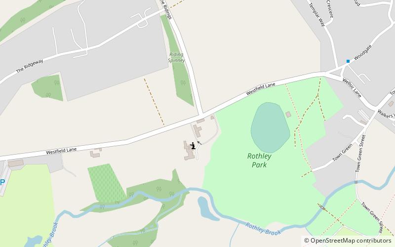
Coordinates: 52°42'22"N, 1°8'51"W
Location
England
ContactAdd
Social media
Add
Day trips
Rothley Temple – popular in the area (distance from the attraction)
Nearby attractions include: St Mary & St John Church, Cossington Meadows, Halstead Road Centenary Pasture, Mountsorrel Meadows.