The Valley, London
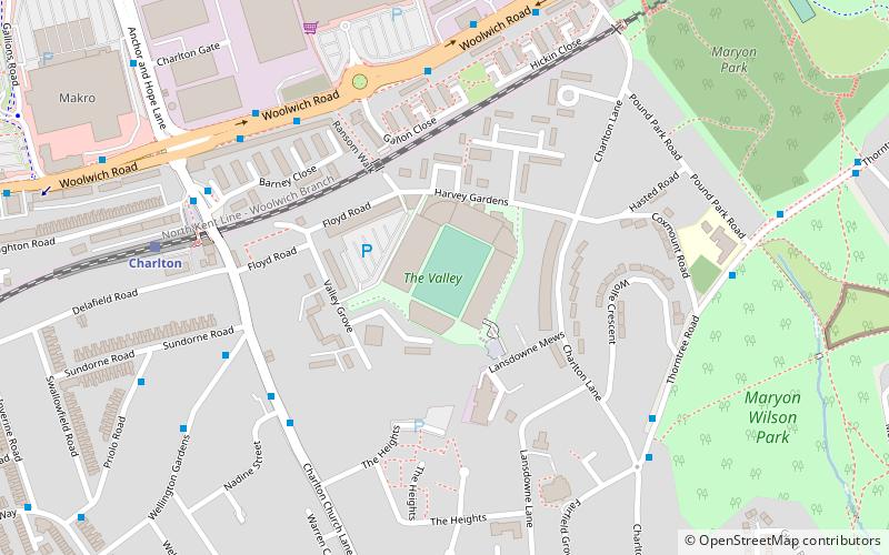
Map
Gallery
Facts and practical information
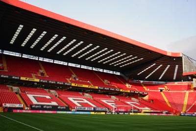
The Valley is a 27,111 capacity sports stadium in Charlton, London, England and has been the home of Charlton Athletic Football Club since the 1920s, with a period of exile between 1985 and 1992. It is served by Charlton railway station, which is less than a five-minute walk away from the stadium. An alternative route is the Jubilee line; exiting at North Greenwich, and changing for route 161, 472 and 486 buses, which stop outside the stadium. ()
Alternative names: Opened: 1919 (107 years ago)Capacity: 27.1 thous.Coordinates: 51°29'11"N, 0°2'11"E
Address
Greenwich (Charlton)London
ContactAdd
Social media
Add
Day trips
The Valley – popular in the area (distance from the attraction)
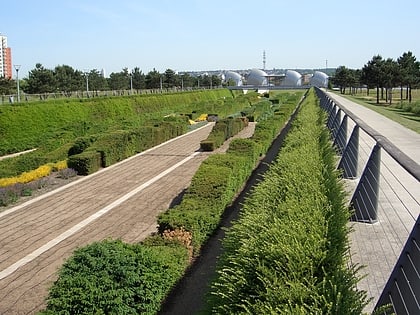
Nearby attractions include: Thames Barrier Park, St Mary Magdalene Woolwich, Woolwich Common, St George's Garrison Church.
Frequently Asked Questions (FAQ)
Which popular attractions are close to The Valley?
Nearby attractions include Charlton, London (4 min walk), Maryon Park, London (8 min walk), Maryon Wilson Park, London (9 min walk), Charlton Park, London (14 min walk).
How to get to The Valley by public transport?
The nearest stations to The Valley:
Bus
Train
Ferry
Light rail
Bus
- Nadine Street • Lines: 380, 486 (5 min walk)
- Charlton Lane • Lines: 380 (6 min walk)
Train
- Charlton (7 min walk)
- Westcombe Park (20 min walk)
Ferry
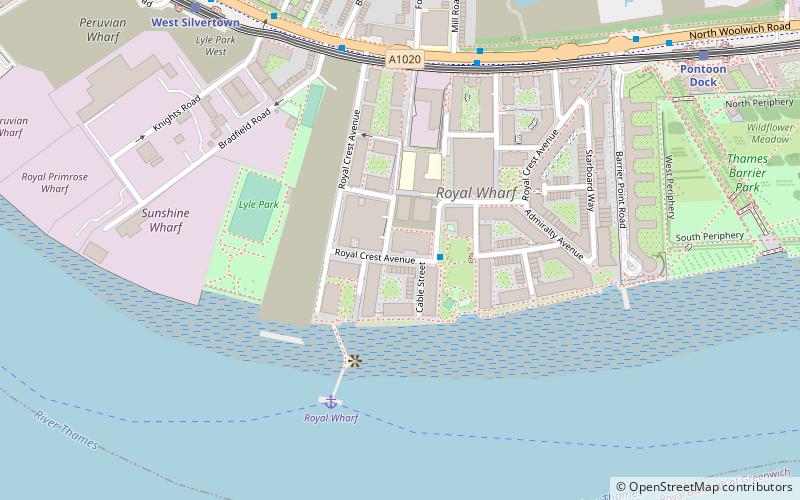
- Royal Wharf • Lines: Rb1, Rb5 (24 min walk)
- Woolwich Ferry South Pier • Lines: Woolwich Free Ferry (33 min walk)
Light rail
- Pontoon Dock Platform 1 • Lines: B-Wa, Si-Wa (29 min walk)
- West Silvertown Platform 2 • Lines: B-Wa, Si-Wa (34 min walk)

 Tube
Tube