Royal Wharf, London
Map
Facts and practical information
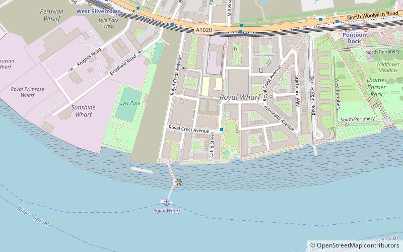
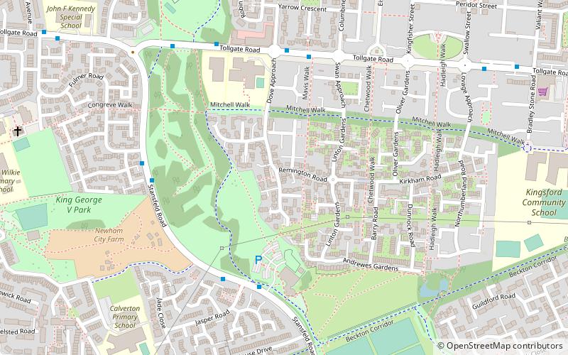
Royal Wharf, on the former site of Minoco Wharf on the north bank of the River Thames, is a residential and commercial development in Newham, London located near the Thames Barrier, west of Thames Barrier Park, and close to both West Silvertown and Pontoon Dock DLR stations. ()
Elevation: 20 ft a.s.l.Coordinates: 51°29'59"N, 0°1'36"E
Address
Newham (Royal Docks)London
ContactAdd
Social media
Add
Getting there by public transportation
Public transportation stops near this location
- Metro
- Bus
- Light rail
- Train
- Ferry
 Metro
Metro
- Calculate routeRoyal Wharf 4 min walk
- Calculate routeNorth Greenwich Pier 20 min walk
- Calculate routeWest Silvertown Station 7 min walk
- Calculate routePrince Regent Bus Station 20 min walk
- Calculate routeNorth Greenwich 26 min walk
- Calculate routeSundorne Road 26 min walk
- Calculate routeWest Silvertown Platform 1 8 min walk
- Calculate routePontoon Dock Platform 1 10 min walk
- Calculate routeCharlton 24 min walk
- Calculate routeWestcombe Park 29 min walk
- Calculate routeCanning Town 33 min walk
- Calculate routeMaze Hill 40 min walk
- Calculate routeNorth Greenwich 25 min walk
- Calculate routeCanning Town 33 min walk
Maps Tube
Tube
TubeDay trips


Frequently Asked Questions (FAQ)
Which popular attractions are close to Royal Wharf?
Nearby attractions include Silvertown War Memorial, London (2 min walk), Silvertown Quays, London (8 min walk), Thames Barrier Park, London (9 min walk), Royal Victoria Dock Bridge, London (12 min walk).
How to get to Royal Wharf by public transport?
The nearest stations to Royal Wharf:
Ferry
Bus
Light rail
Train
Metro
Ferry
- Royal Wharf • Lines: Rb1, Rb5 (4 min walk)
- North Greenwich Pier • Lines: Rb1, Rb1X, Rb5 (20 min walk)
Bus
- West Silvertown Station • Lines: 474 (7 min walk)
- Prince Regent Bus Station (20 min walk)
Light rail
- West Silvertown Platform 1 • Lines: B-Wa, Si-Wa (8 min walk)
- Pontoon Dock Platform 1 • Lines: B-Wa, Si-Wa (10 min walk)
Train
- Charlton (24 min walk)
- Westcombe Park (29 min walk)
Metro
- North Greenwich • Lines: Jubilee (25 min walk)
- Canning Town • Lines: Jubilee (33 min walk)