Irlams o' th' Height, Manchester
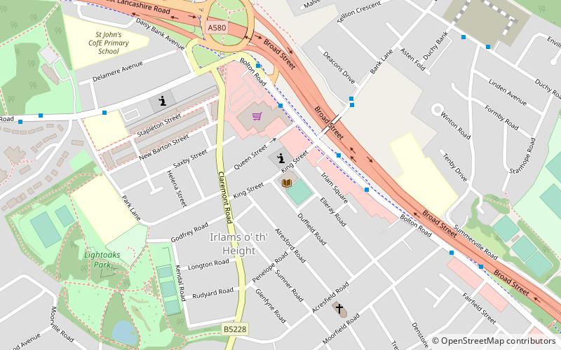
Map
Facts and practical information
Irlams o' th' Height is a suburb of Salford, Greater Manchester, England. ()
Coordinates: 53°29'59"N, 2°18'32"W
Address
Salford (Claremont)Manchester
ContactAdd
Social media
Add
Getting there by public transportation
Public transportation stops near this location
- Bus
- Tram
- Train
 Bus
Bus
- Calculate routeBolton Road/Co-op Superstore 3 min walk
- Calculate routeBank Lane/Deacons Drive 4 min walk
- Calculate routeDuchy Road/Summerville Road 8 min walk
- Calculate routeLadywell 34 min walk
- Calculate routeEccles 40 min walk
- Calculate routeEccles 37 min walk
- Calculate routeSwinton 40 min walk
Maps MetrolinkMaps
 Metrolink / Rail
MetrolinkMapsMetrolink / RailDay trips


Frequently Asked Questions (FAQ)
Which popular attractions are close to Irlams o' th' Height?
Nearby attractions include Buile Hill Park, Manchester (17 min walk), Agecroft Cemetery, Manchester (24 min walk).
How to get to Irlams o' th' Height by public transport?
The nearest stations to Irlams o' th' Height:
Bus
Tram
Train
Bus
- Bolton Road/Co-op Superstore • Lines: 74 (3 min walk)
- Bank Lane/Deacons Drive • Lines: 74 (4 min walk)
Tram
- Ladywell • Lines: Asht, Eccl (34 min walk)
- Eccles • Lines: Asht, Eccl (40 min walk)
Train
- Eccles (37 min walk)
- Swinton (40 min walk)