Salford, Manchester

Gallery (8)
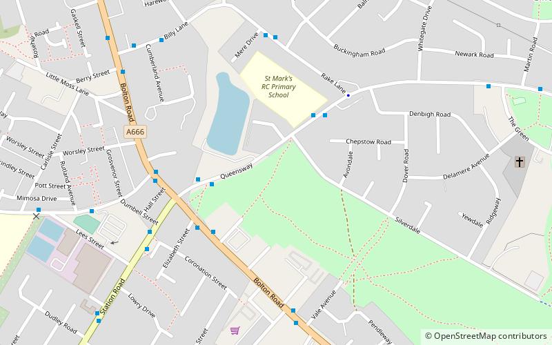
Map

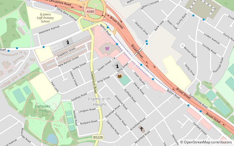
Map

Gallery
Facts and practical information
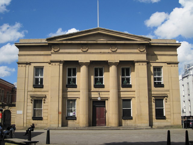
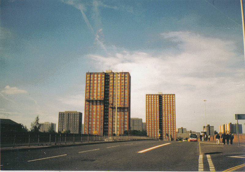
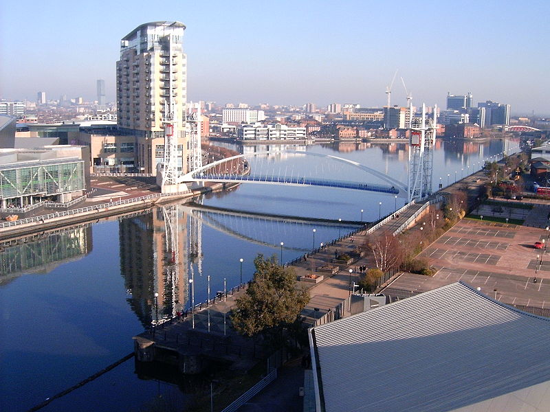
The City of Salford is a metropolitan borough with the status of a city in Greater Manchester, England. The borough is named after its main settlement, Salford. The borough covers the towns of Eccles, Swinton, Walkden and Pendlebury. As well as the villages and suburbs of Monton, Little Hulton, Boothstown, Ellenbrook, Clifton, Cadishead, Pendleton, Winton and Worsley. The city has a population of 245,600, and is administered from the Salford Civic Centre in Swinton. Salford is the historic centre of the Salford Hundred which was never formally ceased as a division of Lancashire. ()
Getting there by public transportation
Public transportation stops near this location
- Bus
- Train
 Bus
Bus
- Calculate routeChorley Road/Swinton Post Office 3 min walk
- Calculate routeWorsley Road/Chorley Road 4 min walk
- Calculate routeSwinton 10 min walk
- Calculate routeMoorside 23 min walk
- Calculate routeClifton 31 min walk
Maps MetrolinkMaps
 Metrolink / Rail
MetrolinkMapsMetrolink / RailDay trips
Salford – popular in the area (distance from the attraction)
Nearby attractions include: Salford Civic Centre, Victoria Park, Swinton, Pendlebury.


Frequently Asked Questions (FAQ)
Which popular attractions are close to Salford?
Nearby attractions include Salford Civic Centre, Manchester (7 min walk), Swinton, Manchester (7 min walk), Victoria Park, Manchester (8 min walk), Pendlebury, Manchester (11 min walk).
How to get to Salford by public transport?
The nearest stations to Salford:
Bus
Train
Bus
- Chorley Road/Swinton Post Office • Lines: 29 (3 min walk)
- Worsley Road/Chorley Road • Lines: 29 (4 min walk)
Train
- Swinton (10 min walk)
- Moorside (23 min walk)