Weaste Cemetery, Manchester
Map

Gallery

Facts and practical information
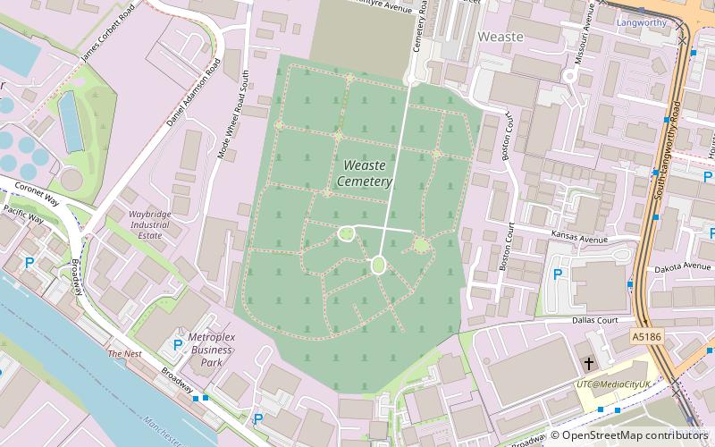
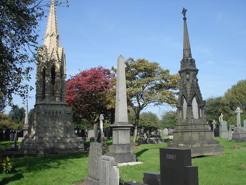
Weaste Cemetery is a public cemetery in Weaste, Salford, Greater Manchester, in England. Opened in 1857, it is the oldest of Salford's four cemeteries, covering 39 acres and containing over 332,000 graves. ()
Coordinates: 53°28'39"N, 2°18'11"W
Address
Salford (Weaste & Seedley)Manchester
ContactAdd
Social media
Add
Day trips
Weaste Cemetery – popular in the area (distance from the attraction)
Nearby attractions include: Imperial War Museum North, Old Trafford, Salford Shopping Centre, The Lowry.
Frequently Asked Questions (FAQ)
Which popular attractions are close to Weaste Cemetery?
Nearby attractions include MediaCityUK, Manchester (11 min walk), St Luke's Church, Manchester (12 min walk), Media City Footbridge, Manchester (12 min walk), Salford Quays, Manchester (14 min walk).
How to get to Weaste Cemetery by public transport?
The nearest stations to Weaste Cemetery:
Bus
Tram
Train
Bus
- BROADWAY/Columbus Way • Lines: 29 (6 min walk)
- South Langworthy Road/Dakota Avenue • Lines: 50 (8 min walk)
Tram
- Langworthy • Lines: Asht, Eccl (9 min walk)
- Weaste • Lines: Asht, Eccl (10 min walk)
Train
- Salford Crescent (33 min walk)

 Metrolink
 Metrolink / Rail


