Salford Quays, Manchester
Map

Gallery

Facts and practical information
Salford Quays is an area of Salford, Greater Manchester, England, near the end of the Manchester Ship Canal. Previously the site of Manchester Docks, it became one of the first and largest urban regeneration projects in the United Kingdom following the closure of the dockyards in 1982. ()
Coordinates: 53°28'22"N, 2°17'34"W
Address
Salford (Ordsall)Manchester
ContactAdd
Social media
Add
Day trips
Salford Quays – popular in the area (distance from the attraction)
Nearby attractions include: Imperial War Museum North, Old Trafford, Old Trafford Cricket Ground, Salford Shopping Centre.
Frequently Asked Questions (FAQ)
Which popular attractions are close to Salford Quays?
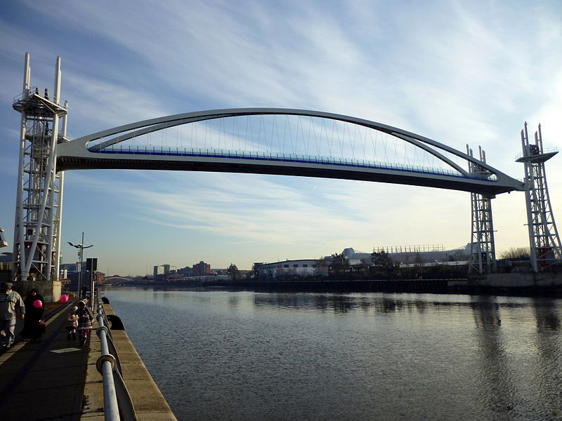
Nearby attractions include MediaCityUK, Manchester (5 min walk), The Lowry, Manchester (5 min walk), Salford Quays lift bridge, Manchester (7 min walk), Imperial War Museum North, Manchester (9 min walk).
How to get to Salford Quays by public transport?
The nearest stations to Salford Quays:
Bus
Tram
Train
Bus
- THE QUAYS/Huron Basin • Lines: 53, 79 (2 min walk)
- The Quays/MediaCityUK • Lines: 29, 53, 79 (3 min walk)
Tram
- Harbour City • Lines: Asht, Eccl, Mcuk (4 min walk)
- Broadway • Lines: Asht, Eccl (5 min walk)
Train
- Salford Crescent (30 min walk)

 Metrolink
 Metrolink / Rail


