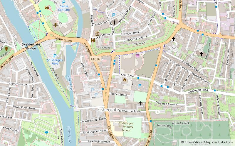
Lamel Hill, York
Map

Map

Facts and practical information
Lamel Hill is a scheduled monument about 1 mile south-east of the centre of York, England. It is near The Retreat and the northern part of Walmgate Stray, and in some medieval documents it is referred to as Siward's Mill Hill, or Siward's How Mill, in reference to its previous use as the base of a windmill. However it should not be confused with another site known as Siward's Howe which is about 220 yards further east. ()
Elevation: 49 ft a.s.l.Coordinates: 53°57'11"N, 1°4'30"W
Address
FishergateYork
ContactAdd
Social media
Add
Day trips
Lamel Hill – popular in the area (distance from the attraction)
Nearby attractions include: Clifford's Tower, Coppergate Shopping Centre, York Castle Museum, Jorvik Viking Centre.
Frequently Asked Questions (FAQ)
Which popular attractions are close to Lamel Hill?
Nearby attractions include York Barbican, York (2 min walk), Fishergate News, York (2 min walk), York city walls, York (3 min walk), St George's Roman Catholic Church, York (4 min walk).
How to get to Lamel Hill by public transport?
The nearest stations to Lamel Hill:
Bus
Train
Bus
- Fawcett Street • Lines: 66 (1 min walk)
- Fewster Way • Lines: 66 (2 min walk)
Train
- York (22 min walk)


