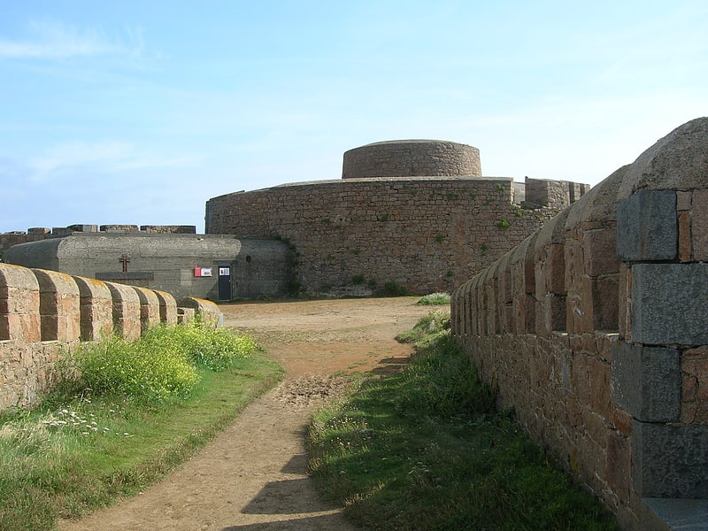
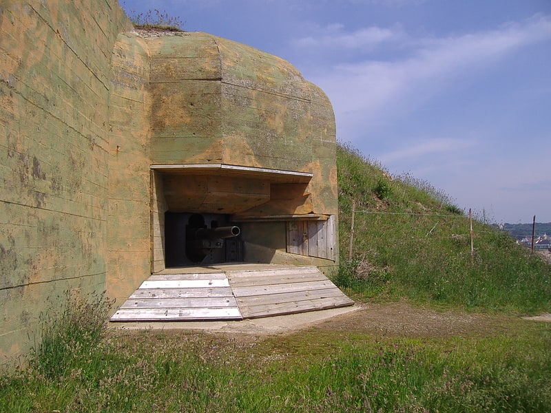
Fort Pezeries, Saint Martin
Map
Facts and practical information
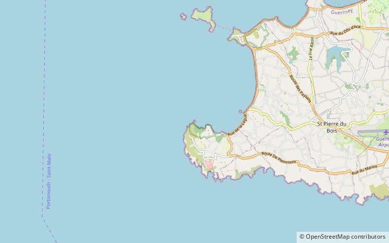
Fort Pezeries is a place located in Saint Martin (Torteval parish) and belongs to the category of forts and castles.
It is situated at an altitude of 7 feet, and its geographical coordinates are 49°26'13"N latitude and 2°40'17"W longitude.
Planning a visit to this place, one can easily and conveniently get there by public transportation. Fort Pezeries is a short distance from the following public transport stations: Pleinmont (bus, 14 min walk).
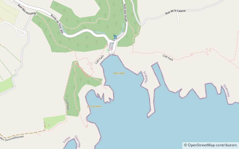
Among other places and attractions worth visiting in the area are: Portelet (beach, 10 min walk), Fort Grey (tower, 20 min walk), L'Eree (beach, 36 min walk).
Coordinates: 49°26'13"N, 2°40'17"W
Getting there by public transportation
Public transportation stops near this location
- Bus
 Bus
Bus
- Calculate routePleinmont 14 min walk
Day trips


Frequently Asked Questions (FAQ)
How to get to Fort Pezeries by public transport?
The nearest stations to Fort Pezeries:
Bus
Bus
- Pleinmont • Lines: 61, 91, 92, 93, 94 (14 min walk)