Haslar, Portsmouth
Map

Map

Facts and practical information
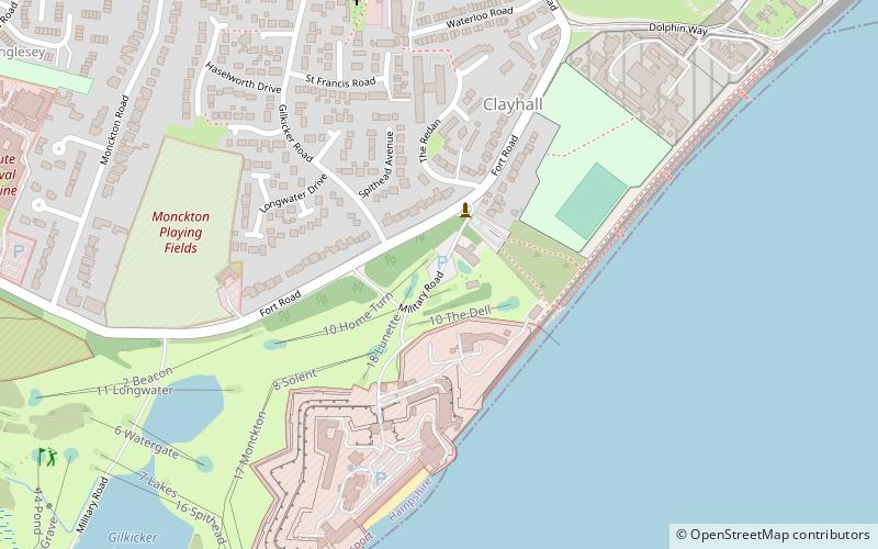
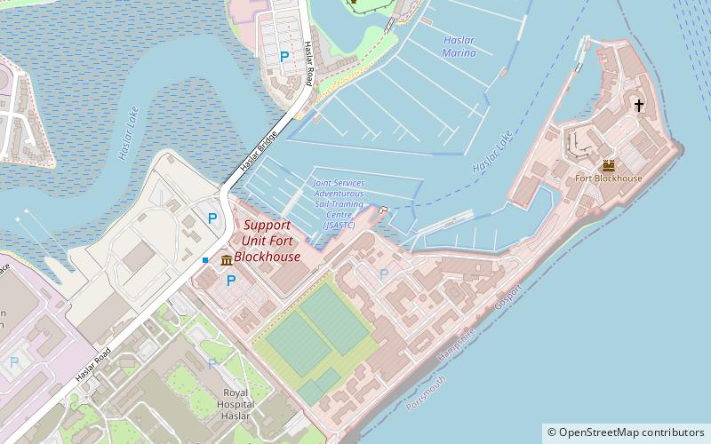
Haslar is on the south coast of England, at the southern tip of Alverstoke, on the Gosport peninsula, Hampshire. It takes its name from the Old English hæsel-ōra, meaning "hazel-landing place". It may have been named after a bank of hazel strewn on marshy grounds around Haslar Creek to make it passable and habitable in old times, or merely because hazel grew there. ()
Coordinates: 50°46'45"N, 1°7'56"W
Address
Portsmouth
ContactAdd
Social media
Add
Day trips
Haslar – popular in the area (distance from the attraction)
Nearby attractions include: Spinnaker Tower, Gunwharf Quays, Portsmouth Cathedral, Royal Garrison Church.
Frequently Asked Questions (FAQ)
Which popular attractions are close to Haslar?
Nearby attractions include Fort Monckton, Portsmouth (5 min walk), Fort Gilkicker, Portsmouth (14 min walk), Royal Navy Submarine Museum, Portsmouth (20 min walk), HMS Alliance, Gosport (22 min walk).
How to get to Haslar by public transport?
The nearest stations to Haslar:
Bus
Ferry
Bus
- Gosport Bus Station (32 min walk)
Ferry
- Gosport Ferry Terminal • Lines: Gosport-Portsmouth Hard (34 min walk)
- Portsmouth Car Ferry terminal • Lines: Portsmouth - Fishbourne (vehicle ferry) (38 min walk)


