St Wilfrid's Church
Map

Map

Facts and practical information
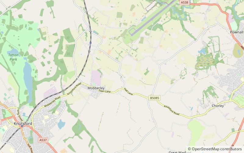
St Wilfrid's Church stands to the north of the village of Mobberley, Cheshire, England. The church is recorded in the National Heritage List for England as a designated Grade I listed building. It is an active Anglican parish church in the diocese of Chester, the archdeaconry of Macclesfield and the deanery of Knutsford. Alec Clifton-Taylor includes it in his list of 'best' English parish churches. ()
Completed: 1888 (138 years ago)Architectural style: English gothicCoordinates: 53°19'6"N, 2°18'57"W
Day trips
St Wilfrid's Church – popular in the area (distance from the attraction)
Nearby attractions include: Quarry Bank Mill, Tatton Hall, Tatton Park, St John the Baptist's Church.


