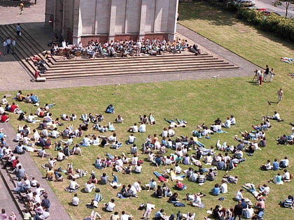
Ismaili Centre, London
Map
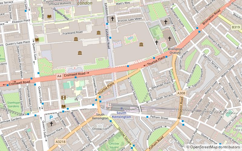
Map

Facts and practical information
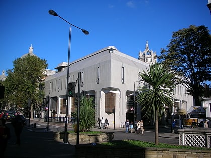
The Ismaili Centre, London is one of six such centres world-wide. Established in South Kensington more than thirty years ago, it is a religious, social and cultural meeting place for the Ismaili Muslim community in the United Kingdom and is the first such centre to be specially designed and built for Ismailis in the Western world. ()
Completed: 1985 (41 years ago)Coordinates: 51°29'44"N, 0°10'23"W
Day trips
Ismaili Centre – popular in the area (distance from the attraction)
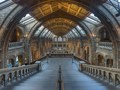
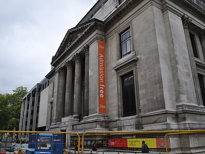
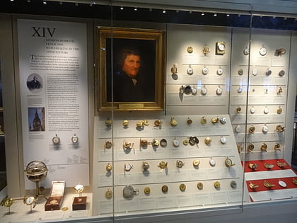
Nearby attractions include: Victoria and Albert Museum, Natural History Museum, Science Museum, Geological Museum.
Frequently Asked Questions (FAQ)
Which popular attractions are close to Ismaili Centre?
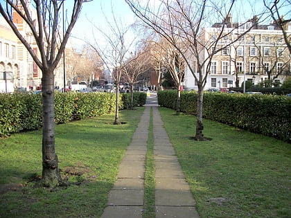
Nearby attractions include Yalta Memorial Garden, London (1 min walk), Thurloe Square, London (2 min walk), V&A Rotunda Chandelier, London (3 min walk), National Art Library, London (3 min walk).
How to get to Ismaili Centre by public transport?
The nearest stations to Ismaili Centre:
Metro
Bus
Ferry
Metro
- South Kensington • Lines: Circle, District, Piccadilly (3 min walk)
- Gloucester Road • Lines: Circle, District, Piccadilly (12 min walk)
Bus
- South Kensington Museums • Lines: 360 (4 min walk)
- South Kensington Station / Old Brompton Road • Lines: 14, 345, 414, 49 (4 min walk)
Ferry
- Cadogan Pier • Lines: Rb6 (24 min walk)
- Battersea Power Station Pier • Lines: Rb1, Rb2, Rb6 (37 min walk)
 Tube
Tube
