Queen's Lawn, London
Map
Gallery

Facts and practical information
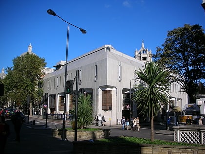
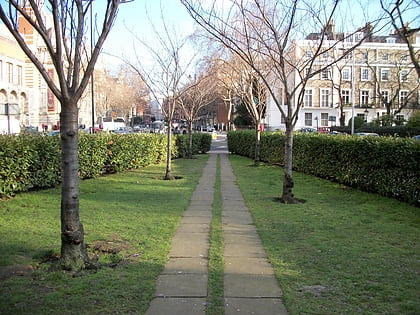
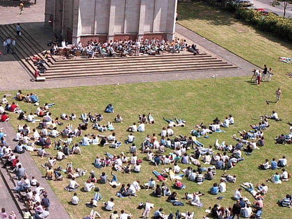
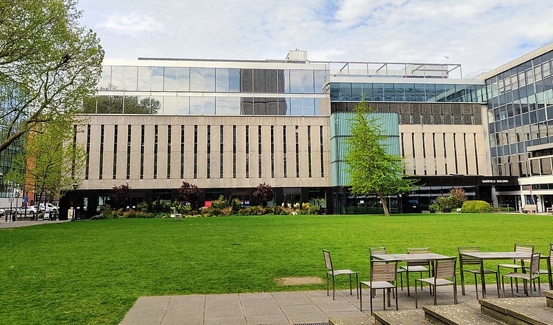
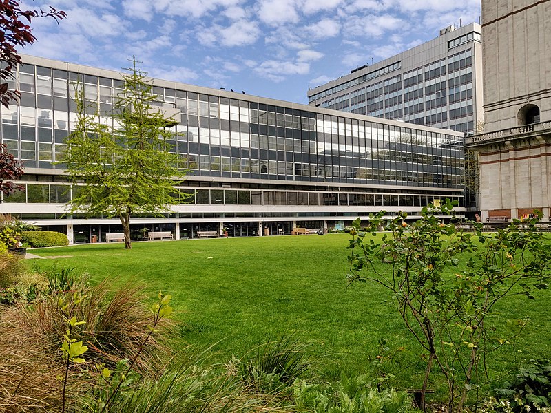
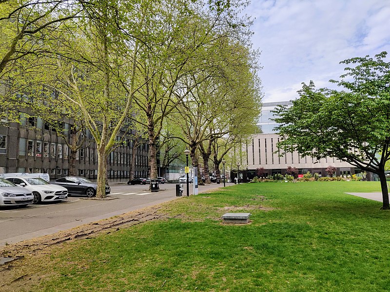
The Queen's Lawn is a green lawned area situated at the centre of Imperial College London's South Kensington campus, next to the Queen's Tower and immediately to the north of Imperial College Road. It provides an open space of 1,600 sq metres, and is surrounded by the Central Library, and the Sherfield administration, Chemistry, and Skempton buildings. It is often the site of college events, including student bands, fairs, and balls, as well as student activism. ()
Elevation: 72 ft a.s.l.Coordinates: 51°29'55"N, 0°10'38"W
Address
City of Westminster (Knightsbridge and Belgravia)London
ContactAdd
Social media
Add
Day trips
Queen's Lawn – popular in the area (distance from the attraction)
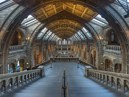
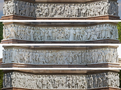
Nearby attractions include: Victoria and Albert Museum, Natural History Museum, Science Museum, Albert Memorial.
Frequently Asked Questions (FAQ)
Which popular attractions are close to Queen's Lawn?
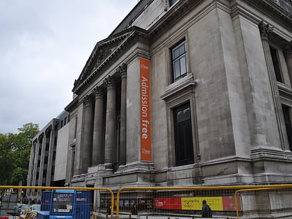
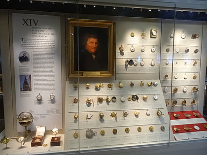
Nearby attractions include Prince Consort Road, London (3 min walk), Holy Trinity Church, London (3 min walk), Science Museum, London (3 min walk), Clockmakers' Museum, London (3 min walk).
How to get to Queen's Lawn by public transport?
The nearest stations to Queen's Lawn:
Bus
Metro
Ferry
Bus
- Prince Consort Road / Imperial College • Lines: 360 (3 min walk)
- Imperial College / Elvaston Place • Lines: 70 (3 min walk)
Metro
- South Kensington • Lines: Circle, District, Piccadilly (9 min walk)
- Gloucester Road • Lines: Circle, District, Piccadilly (11 min walk)
Ferry
- Cadogan Pier • Lines: Rb6 (31 min walk)


 Tube
Tube
