Bedfont, London
Map

Gallery

Facts and practical information
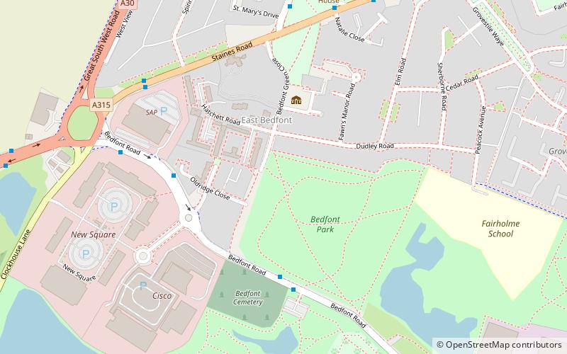
Bedfont is a suburb in the London Borough of Hounslow, approximately 14 miles west of Charing Cross. Originally a distinct village, Bedfont has a large central conservation area around Bedfont Green. The majority of the housing was built at a time of an emerging economy of aviation and distribution-related businesses. The area was formerly part of the Staines Rural District and was one of the formerly agricultural areas chosen for significant low-rise social housing, planned and built in the mid 20th century. ()
Area: 1.72 mi²Coordinates: 51°26'53"N, 0°26'27"W
Address
Hounslow (Bedfont)London
ContactAdd
Social media
Add
Day trips
Bedfont – popular in the area (distance from the attraction)
Nearby attractions include: Myrtle Avenue, Bedfont Lakes Country Park, The Hounslow Urban Farm, Ashford.
Frequently Asked Questions (FAQ)
How to get to Bedfont by public transport?
The nearest stations to Bedfont:
Bus
Metro
Train
Bus
- Bedfont Lakes • Lines: H26 (4 min walk)
- Spinney Drive • Lines: 116, H26 (6 min walk)
Metro
- Heathrow Terminal 4 • Lines: Piccadilly (20 min walk)
Train
- Heathrow Terminal 4 (21 min walk)

 Tube
Tube


