Myrtle Avenue, Hounslow
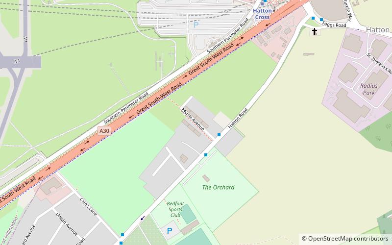
Map

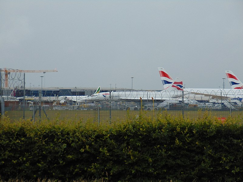
Gallery

Facts and practical information
Myrtle Avenue is a street in the London Borough of Hounslow which is near the eastern end of Heathrow airport's south runway, 27L. This makes it especially noisy when aircraft are landing or taking off from 27L, though its view of the aircraft has made it the prime location for plane spotting. ()
Coordinates: 51°27'48"N, 0°25'37"W
Address
Hounslow (Bedfont)Hounslow
ContactAdd
Social media
Add
Day trips
Myrtle Avenue – popular in the area (distance from the attraction)
Nearby attractions include: St George's Interdenominational Chapel, The Hounslow Urban Farm, Slipstream Sculpture, Cranebank.
Frequently Asked Questions (FAQ)
Which popular attractions are close to Myrtle Avenue?
Nearby attractions include The Hounslow Urban Farm, London (14 min walk), Cranebank, London (22 min walk).


