Canisbay Parish Church

Gallery (1)
Map
Map
Facts and practical information
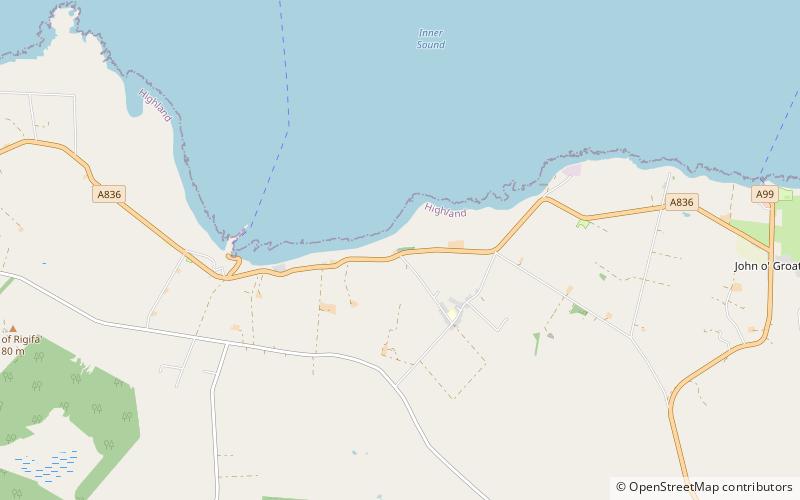
Canisbay Parish Church is a Church of Scotland church in Canisbay, Scotland, that dates back to the early 1600s and is the most northernly church on mainland Britain. It is a Category A listed building. It is surrounded by a large cemetery, which is split into two sections, the new and old. It features a square bell tower, nave and a porch. The porch was added in 1891, when the other extensions and work was completed to the church building. ()
Coordinates: 58°38'19"N, 3°7'57"W
Location
Scotland
ContactAdd
Social media
Add
Day trips

