Aldridge Airport, Walsall

Gallery (1)
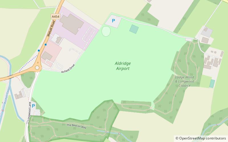
Map
Map
Facts and practical information
Aldridge Airport is a place located in Walsall (England kingdom) and belongs to the category of park, relax in park.
It is situated at an altitude of 515 feet, and its geographical coordinates are 52°35'28"N latitude and 1°56'4"W longitude.
Planning a visit to this place, one can easily and conveniently get there by public transportation. Aldridge Airport is a short distance from the following public transport stations: Lichfield Rd / Pelsall Lane (bus, 41 min walk).
Among other places and attractions worth visiting in the area are: St Martin's Church (church, 25 min walk), Aldridge Shopping Centre (shopping, 31 min walk), Aldridge (town, 31 min walk).
Elevation: 515 ft a.s.l.Coordinates: 52°35'28"N, 1°56'4"W
Address
Walsall (Aldridge Central and South)Walsall
ContactAdd
Social media
Add
Getting there by public transportation
Public transportation stops near this location
- Bus
 Bus
Bus
- Calculate routeLichfield Rd / Pelsall Lane 41 min walk
Day trips


Frequently Asked Questions (FAQ)
How to get to Aldridge Airport by public transport?
The nearest stations to Aldridge Airport:
Bus
Bus
- Lichfield Rd / Pelsall Lane • Lines: 61 (41 min walk)