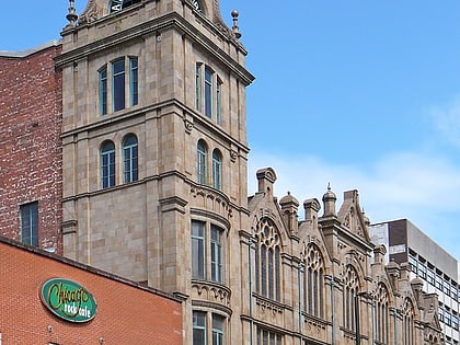
Owen Street, Manchester
Map
Gallery
Facts and practical information
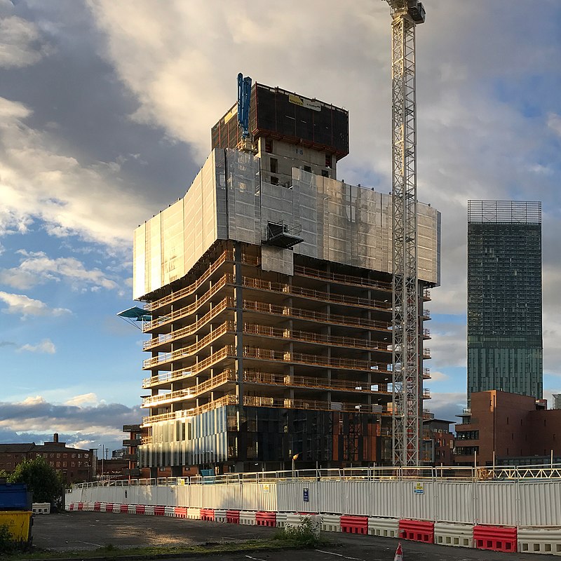
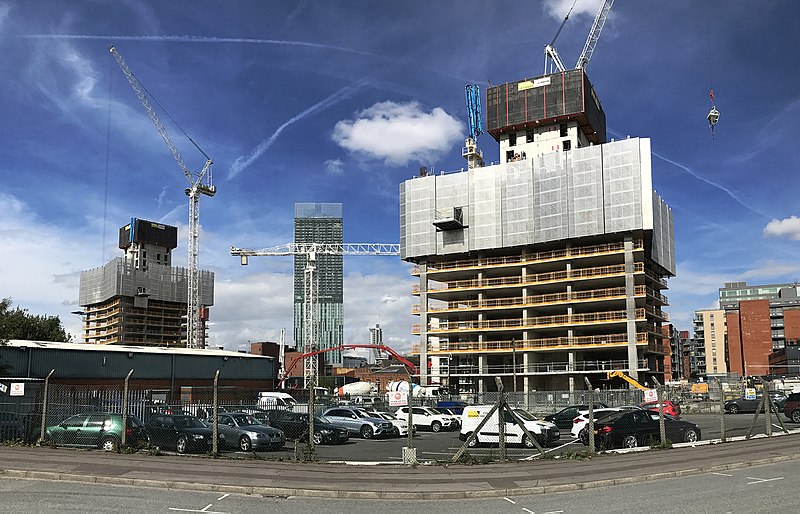
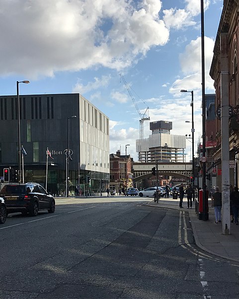
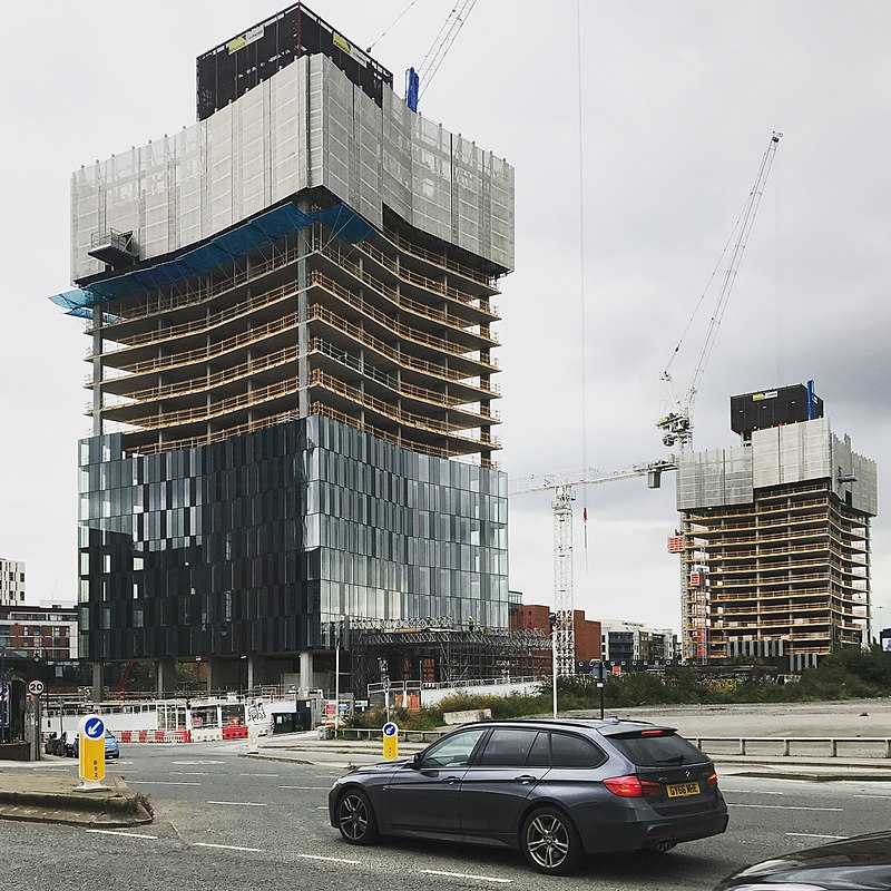
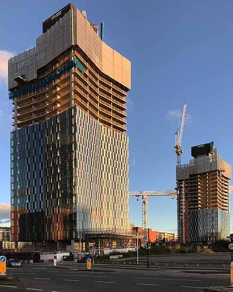
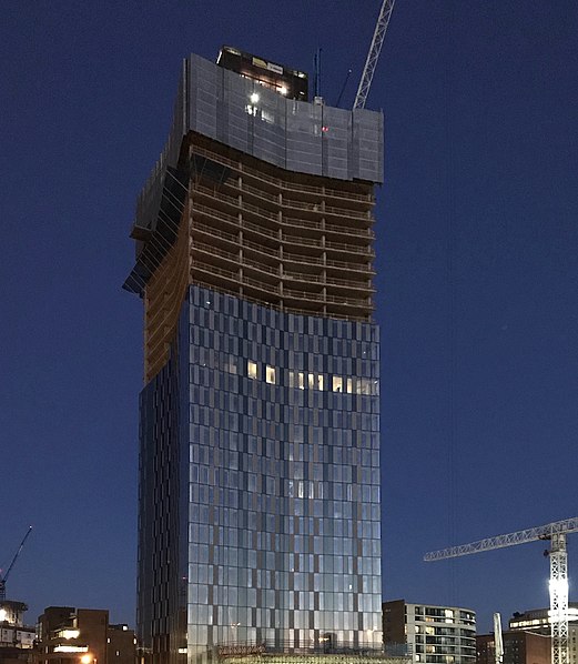
Deansgate Square, formerly known as Owen Street, is a skyscraper cluster on the southern edge of Manchester City Centre, consisting of four towers, the tallest of which is 201 metres. The site is just south of Deansgate railway station and north of the Mancunian Way, bounded by Deansgate, Owen Street and the River Medlock. ()
Floors: 44Coordinates: 53°28'23"N, 2°15'11"W
Address
City CentreManchester
ContactAdd
Social media
Add
Day trips
Owen Street – popular in the area (distance from the attraction)
Nearby attractions include: Deansgate, Museum of Science and Industry, The Briton's Protection, Quay Street.
Frequently Asked Questions (FAQ)
Which popular attractions are close to Owen Street?
Nearby attractions include Castlefield Congregational Chapel, Manchester (3 min walk), Castlefield Gallery, Manchester (3 min walk), Mamucium, Manchester (4 min walk), North Pennine Ring, Manchester (5 min walk).
How to get to Owen Street by public transport?
The nearest stations to Owen Street:
Train
Bus
Tram
Train
- Deansgate (3 min walk)
- Manchester Oxford Road (12 min walk)
Bus
- Deansgate Station • Lines: 2, 2 (peak) (4 min walk)
- Liverpool Road/Barton St • Lines: 33 (6 min walk)
Tram
- Deansgate-Castlefield • Lines: Airp, Altr, Asht, Bury, Dean, Eccl, EDid, Mcuk, Picc, Roch, Shaw, Vict (5 min walk)
- St. Peter's Square • Lines: Airp, Altr, Asht, Bury, Eccl, EDid, Mcuk, Picc, Roch, Shaw, Vict (14 min walk)



 Metrolink
 Metrolink / Rail


