St Giles', Oxford
Map
Gallery
Facts and practical information
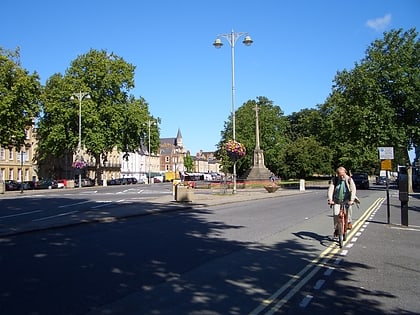
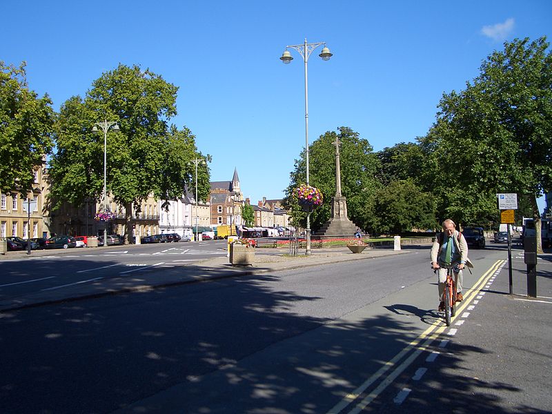
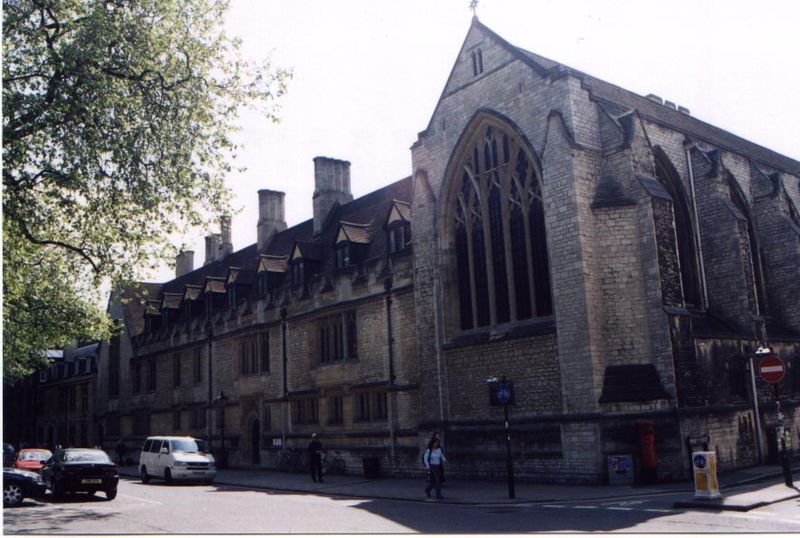
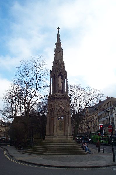
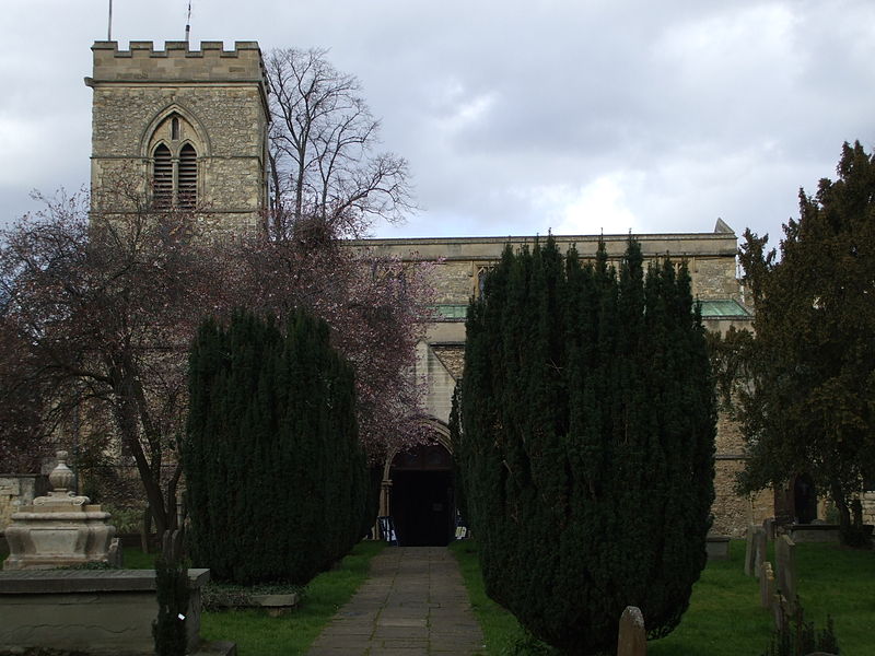
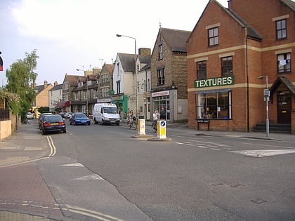
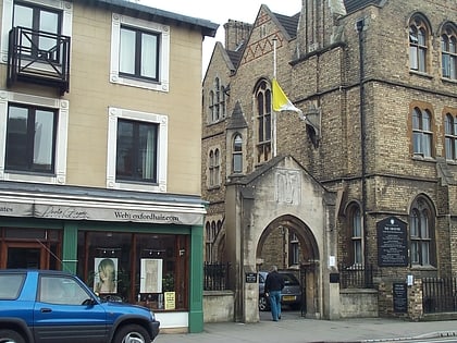
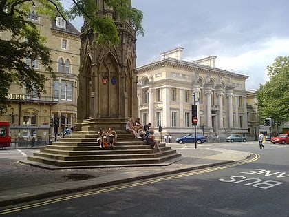
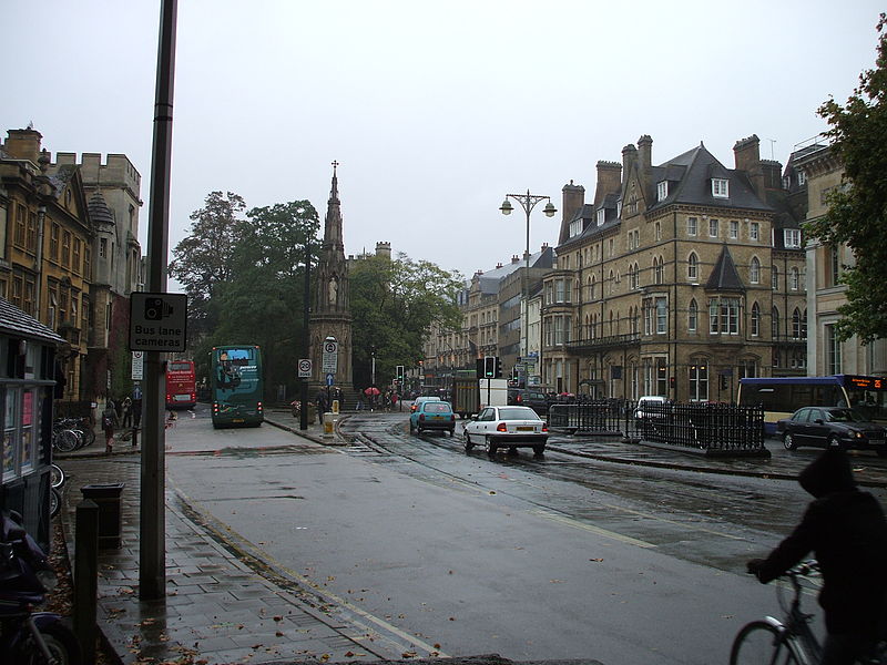
St Giles' is a wide boulevard leading north from the centre of Oxford, England. At its northern end, the road divides into Woodstock Road to the left and Banbury Road to the right, both major roads through North Oxford. At the southern end, the road continues as Magdalen Street at the junction with Beaumont Street to the west. Also to the west halfway along the street is Pusey Street. Like the rest of North Oxford, much of St Giles' is owned by St John's College. ()
Address
CarfaxOxford
ContactAdd
Social media
Add
Day trips
St Giles' – popular in the area (distance from the attraction)
Nearby attractions include: Magdalen Street, Walton Street, Ashmolean Museum, Little Clarendon Street.
Frequently Asked Questions (FAQ)
Which popular attractions are close to St Giles'?
Nearby attractions include Faculty of Theology and Religion, Oxford (1 min walk), Oxford Internet Institute, Oxford (1 min walk), Angus Library and Archive, Oxford (2 min walk), Pusey Street, Oxford (2 min walk).
How to get to St Giles' by public transport?
The nearest stations to St Giles':
Bus
Train
Bus
- St Giles • Lines: 853 (4 min walk)
- Magdalen Street • Lines: 14, 14A, 35 (6 min walk)
Train
- Oxford (14 min walk)
