All Saints' Hampton, London
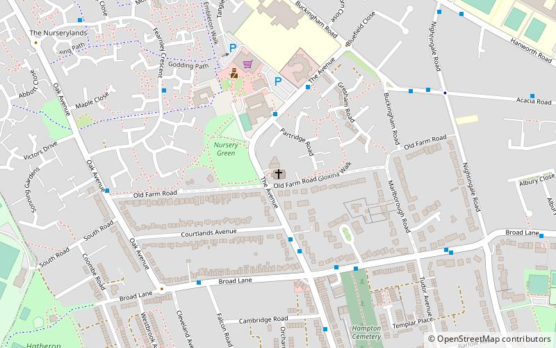
Map

Map

Facts and practical information
All Saints' Hampton is an Anglican church on The Avenue in Hampton in the London Borough of Richmond upon Thames. It was built in 1908 as part of the parish of St Mary's, Hampton and it has been a parish church since 1929. Its vicar is Rev. Donna Williams. ()
Coordinates: 51°25'27"N, 0°22'36"W
Day trips
All Saints' Hampton – popular in the area (distance from the attraction)
Nearby attractions include: Hampton Pool, Garrick's Temple to Shakespeare, St George's Church, Garrick's Villa.
Frequently Asked Questions (FAQ)
Which popular attractions are close to All Saints' Hampton?
Nearby attractions include Hampton Cemetery, London (6 min walk), Hampton, London (12 min walk), Hampton Methodist Church, Molesey (13 min walk), Hanworth, London (13 min walk).
How to get to All Saints' Hampton by public transport?
The nearest stations to All Saints' Hampton:
Bus
Train
Bus
- Courtlands Avenue • Lines: 111, R70 (3 min walk)
- Nurserylands Shopping Centre • Lines: 111, R70 (3 min walk)
Train
- Hampton (16 min walk)
- Fulwell (34 min walk)

 Tube
Tube


