Bordon Library, Bordon

Gallery (1)
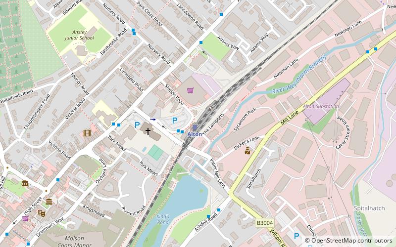
Map
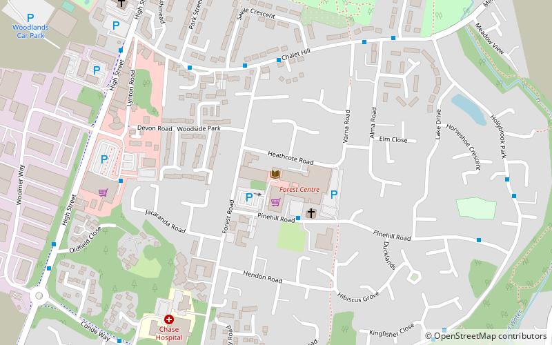
Map
Facts and practical information
Bordon Library (address: Pinehill Road) is a place located in Bordon (England kingdom) and belongs to the category of library.
It is situated at an altitude of 253 feet, and its geographical coordinates are 51°6'33"N latitude and 0°51'32"W longitude.
Among other places and attractions worth visiting in the area are: Forest Community Centre (nature, 2 min walk), St Matthew's Church, South Downs National Park (church, 39 min walk), Blackmoor War Memorial (memorial, 39 min walk).
Coordinates: 51°6'33"N, 0°51'32"W
Day trips