Thorpe Bay, Southend
Map

Map

Facts and practical information
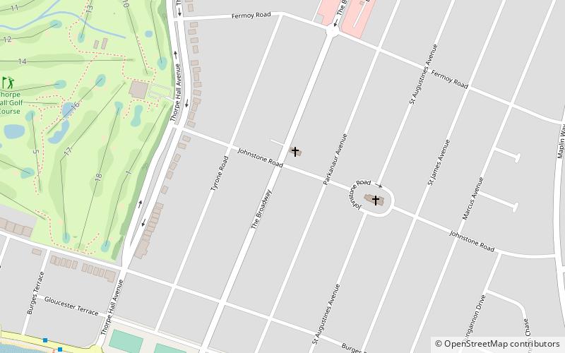
Thorpe Bay is an area within the city of Southend-on-Sea in Essex, England located on the Thames Estuary. Thorpe Bay is situated within the Thorpe ward of Southend-on-Sea. It is around 4 miles to the east of Southend. Originally the area was called Thorpe, but it was renamed Thorpe Bay, after the railway station. The station had been given the name to indicate that it was a seaside settlement. The majority of Thorpe Bay consists of residential properties, mainly built in the 1920s, arranged in a grid pattern. ()
Coordinates: 51°31'58"N, 0°45'33"E
Day trips
Thorpe Bay – popular in the area (distance from the attraction)
Nearby attractions include: Southchurch Park, Holy Trinity Church, Gunners Park and Shoebury Ranges, Shoeburyness Old Ranges.
Frequently Asked Questions (FAQ)
How to get to Thorpe Bay by public transport?
The nearest stations to Thorpe Bay:
Bus
Train
Bus
- The Broadway • Lines: 9 (8 min walk)
- St Augustine's Avenue • Lines: 9 (9 min walk)
Train
- Thorpe Bay (10 min walk)


