St. Catherine's Hill, South Downs National Park
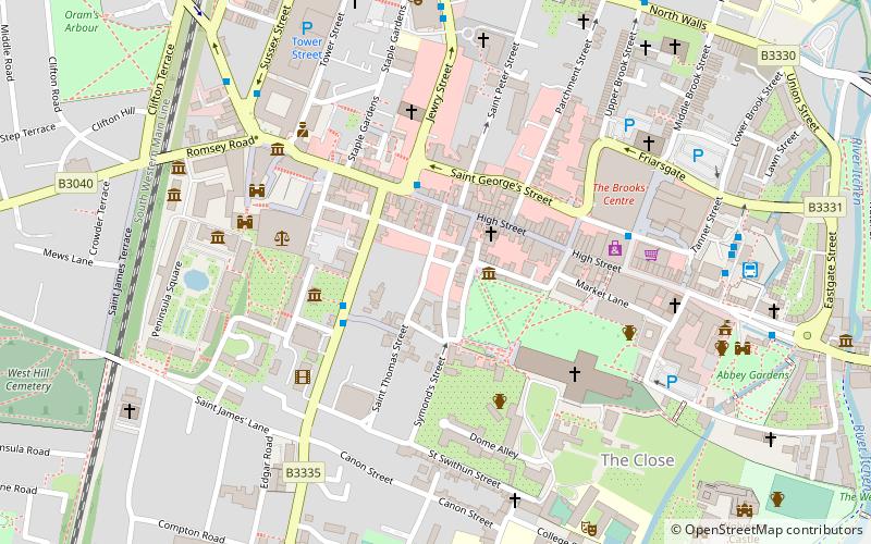
Map

Gallery

Facts and practical information
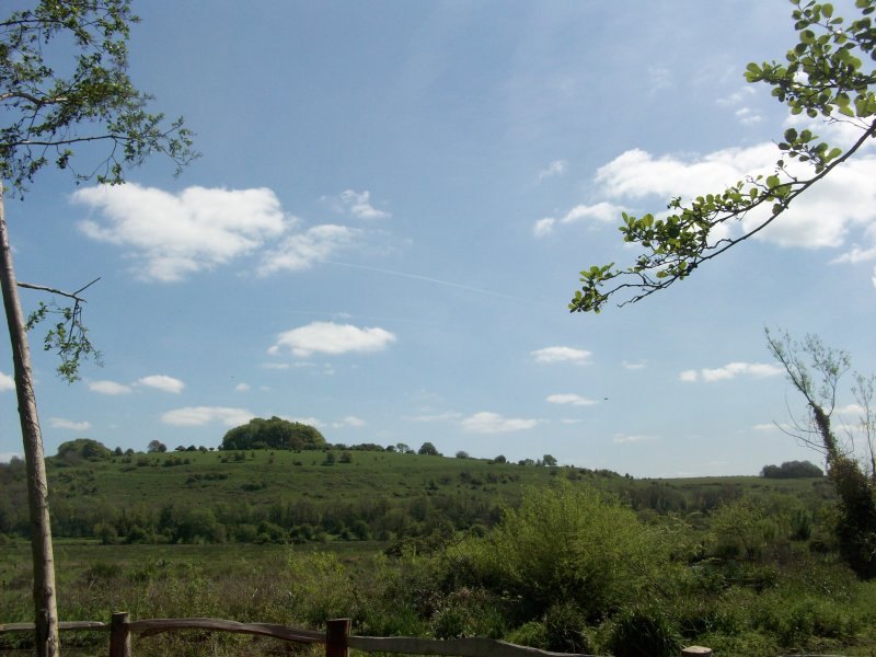
St. Catherine's Hill is a 43-hectare biological Site of Special Scientific Interest on the outskirts of Winchester in Hampshire. It is managed by Hampshire and Isle of Wight Wildlife Trust, and most of it is an Iron Age hillfort, which is a Scheduled Monument. ()
Coordinates: 51°2'47"N, 1°18'39"W
Address
Garnier RoadSouth Downs National Park
ContactAdd
Social media
Add
Day trips
St. Catherine's Hill – popular in the area (distance from the attraction)
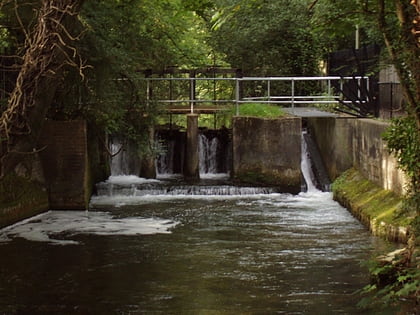
Nearby attractions include: Winchester Cathedral, South Downs Way, Itchen Navigation, Clarendon Way.
Frequently Asked Questions (FAQ)
Which popular attractions are close to St. Catherine's Hill?
Nearby attractions include Itchen Navigation, Winchester (18 min walk), Winchester College War Cloister, Winchester (21 min walk), Hockley Railway Viaduct, South Downs National Park (21 min walk), The Pilgrims' School, Winchester (23 min walk).
How to get to St. Catherine's Hill by public transport?
The nearest stations to St. Catherine's Hill:
Bus
Bus
- Bell Inn • Lines: 1 (15 min walk)
- Grange Road • Lines: 1 (16 min walk)


