Throwley Old Hall, Peak District
Map

Map

Facts and practical information
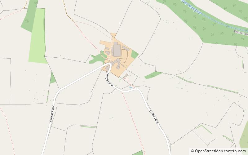
Throwley Old Hall is a ruined stately home near the village of Calton and adjacent to the River Manifold, in north-east Staffordshire, England. ()
Coordinates: 53°4'11"N, 1°50'11"W
Address
Peak District
ContactAdd
Social media
Add
Day trips
Throwley Old Hall – popular in the area (distance from the attraction)
Nearby attractions include: Ilam Park, Castern Hall, Castern Wood, Long Low.
Frequently Asked Questions (FAQ)
Which popular attractions are close to Throwley Old Hall?
Nearby attractions include Castern Wood, Peak District (16 min walk), Castern Hall, Peak District (21 min walk).


