Ilam Park, Peak District
Map

Map

Facts and practical information
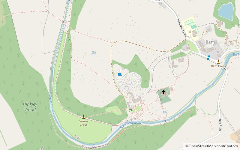
Ilam Park is a 158-acre country park situated in Ilam, on both banks of the River Manifold five miles north west of Ashbourne, England, and in the ownership of the National Trust. The property is managed as part of the Trust's White Peak Estate. ()
Elevation: 531 ft a.s.l.Coordinates: 53°3'15"N, 1°48'24"W
Day trips
Ilam Park – popular in the area (distance from the attraction)
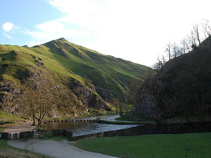
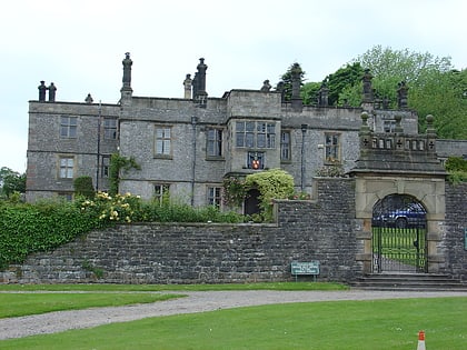
Nearby attractions include: Dovedale, Thorpe Cloud, St Oswald's Church, Tissington Hall.


