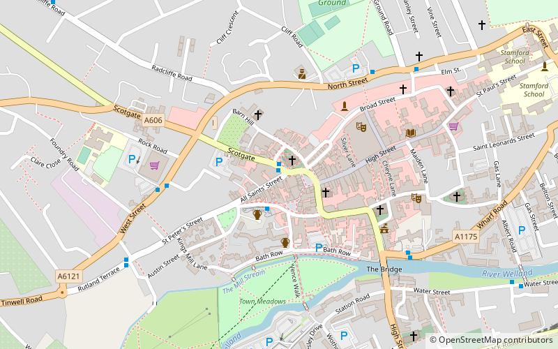
All Saints' Church, Stamford
Map

Map

Facts and practical information
All Saints' Church, Stamford is a parish church in the Church of England, situated in Stamford, Lincolnshire, England. It is a Grade I listed building. The church is on the north side of Red Lion Square which was part of the route of the A1 until the opening of the Stamford bypass in 1960. ()
Coordinates: 52°39'8"N, 0°28'53"W
Day trips
All Saints' Church – popular in the area (distance from the attraction)
Nearby attractions include: Burghley House, Stamford Town Hall, Kings Mill, St George's Church.
Frequently Asked Questions (FAQ)
When is All Saints' Church open?
All Saints' Church is open:
- Monday 8 am - 5 pm
- Tuesday 8 am - 5 pm
- Wednesday 8 am - 5 pm
- Thursday 8 am - 5 pm
- Friday 8 am - 5 pm
- Saturday 9 am - 5 pm
- Sunday 7:30 am - 7 pm
Which popular attractions are close to All Saints' Church?
Nearby attractions include St John the Baptist's Church, Stamford (2 min walk), Browne's Hospital, Stamford (4 min walk), St Mary's Church, Stamford (4 min walk), Church of St Michael the Greater, Stamford (4 min walk).
How to get to All Saints' Church by public transport?
The nearest stations to All Saints' Church:
Bus
Train
Bus
- Stamford Bus Station (2 min walk)
Train
- Stamford (8 min walk)


