Stamford Museum, Stamford
Map

Map

Facts and practical information
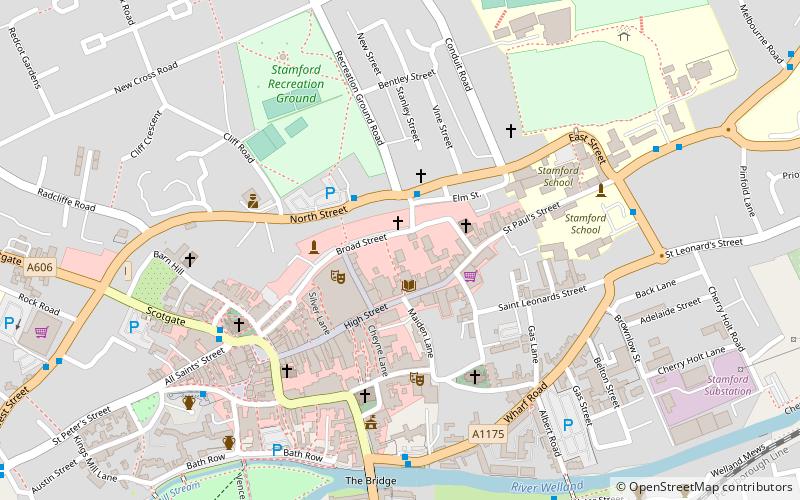
Stamford Museum was located in Stamford, Lincolnshire, in Great Britain. It was housed in a Victorian building in Broad Street, Stamford, and was run by the museum services of Lincolnshire County Council from 1980 to 2011. ()
Coordinates: 52°39'12"N, 0°28'39"W
Address
Stamford
ContactAdd
Social media
Add
Day trips
Stamford Museum – popular in the area (distance from the attraction)
Nearby attractions include: Burghley House, Stamford Town Hall, Kings Mill, St George's Church.
Frequently Asked Questions (FAQ)
Which popular attractions are close to Stamford Museum?
Nearby attractions include Church of St Mary and St Augustine, Stamford (1 min walk), Church of St Michael the Greater, Stamford (2 min walk), United Reformed Church, Stamford (2 min walk), Browne's Hospital, Stamford (2 min walk).
How to get to Stamford Museum by public transport?
The nearest stations to Stamford Museum:
Bus
Train
Bus
- Stamford Bus Station (7 min walk)
Train
- Stamford (11 min walk)


