Liverpool Urban Area, Liverpool
Map
Facts and practical information
The Liverpool Built-up Area is a term used by the Office for National Statistics to denote the urban area around Liverpool in England, to the east of the River Mersey. The contiguous built-up area extends beyond the area administered by Liverpool City Council into adjoining local authority areas, particularly parts of Sefton and Knowsley. As defined by ONS, the area extends as far east as Haydock, and Ashton-in-Makerfield in Greater Manchester. ()
Address
PictonLiverpool
ContactAdd
Social media
Add
Getting there by public transportation
Public transportation stops near this location
- Bus
- Train
 Bus
Bus
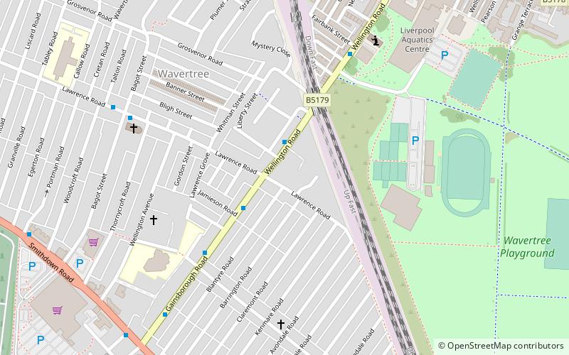
- Calculate routeWavertree Technology Park 14 min walk
- Calculate routeEdge Hill 18 min walk
- Calculate routeWest Derby Road/St. Michael's School 25 min walk
- Calculate routeRocky Lane/Lower Breck Road 25 min walk
Day trips


Frequently Asked Questions (FAQ)
Which popular attractions are close to Liverpool Urban Area?
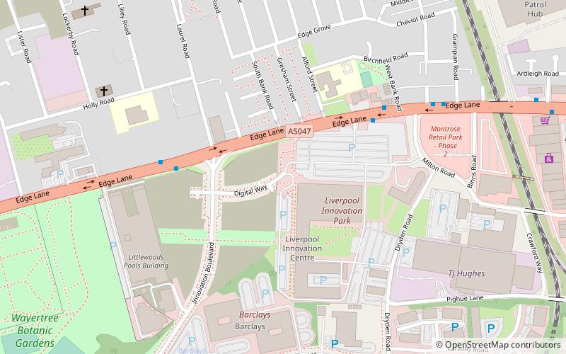
Nearby attractions include Littlewoods Pools building, Liverpool (6 min walk), Wavertree Botanic Gardens, Liverpool (10 min walk), Liverpool Shopping Park, Liverpool (10 min walk), Newsham Park, Liverpool (17 min walk).
How to get to Liverpool Urban Area by public transport?
The nearest stations to Liverpool Urban Area:
Train
Bus
Train
- Wavertree Technology Park (14 min walk)
- Edge Hill (18 min walk)
Bus
- West Derby Road/St. Michael's School • Lines: 18 (25 min walk)
- Rocky Lane/Lower Breck Road • Lines: 18 (25 min walk)