St Michael's Cemetery, Sheffield
Map

Gallery

Facts and practical information
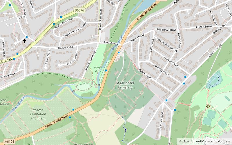
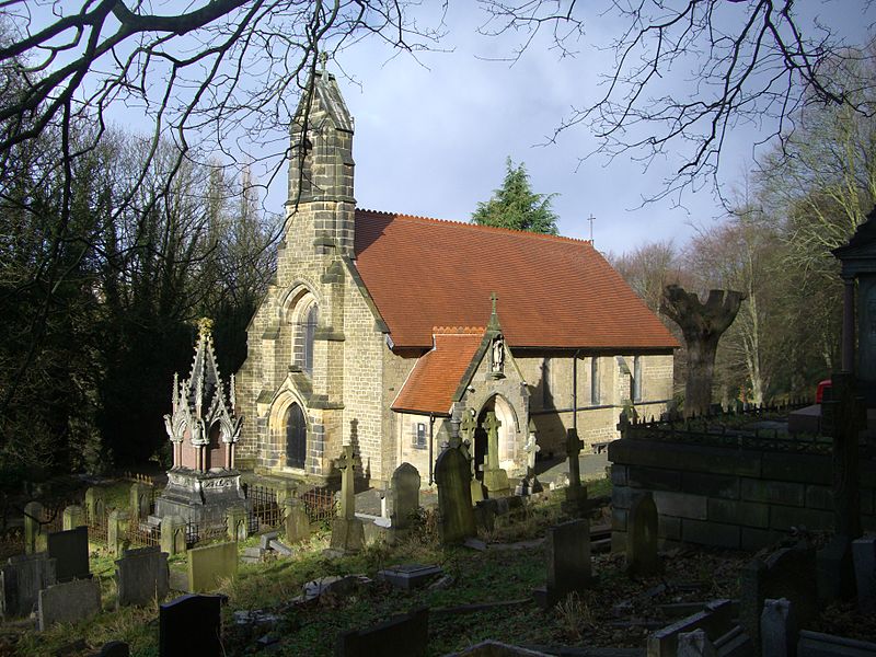
St Michael's Cemetery is a Catholic burial ground in the Rivelin Valley area of Sheffield, South Yorkshire, England. The cemetery stands on a steep hillside on the south side of Rivelin Valley Road at its junction with Rivelin Road and Hollins Lane. ()
Coordinates: 53°23'30"N, 1°30'60"W
Address
WalkleySheffield
ContactAdd
Social media
Add
Day trips
St Michael's Cemetery – popular in the area (distance from the attraction)
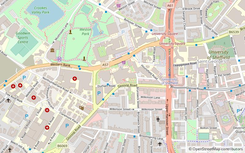
Nearby attractions include: University of Sheffield Students' Union, Weston Park, Owlerton Stadium, Sandygate Road.
Frequently Asked Questions (FAQ)
Which popular attractions are close to St Michael's Cemetery?
Nearby attractions include Rivelin Park Cafe, Sheffield (3 min walk), Walkley Library, Sheffield (16 min walk), Crookes Cemetery, Sheffield (16 min walk), Sheffield Buddhist Centre, Sheffield (21 min walk).
How to get to St Michael's Cemetery by public transport?
The nearest stations to St Michael's Cemetery:
Bus
Tram
Bus
- Stannington Road/Stanwood Avenue • Lines: 61, 62, 81, 82, Sl2 (7 min walk)
- Stannington Road/Barlow Road • Lines: 62, 81, 82, Sl2 (7 min walk)
Tram
- Malin Bridge • Lines: Blue (19 min walk)
- Hillsborough • Lines: Blue, Yell (26 min walk)


