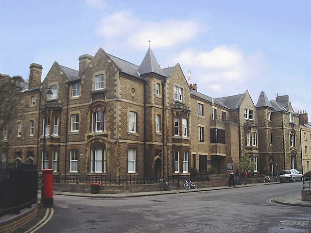
Great Clarendon Street, Oxford

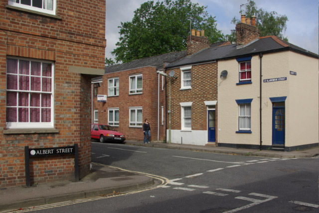
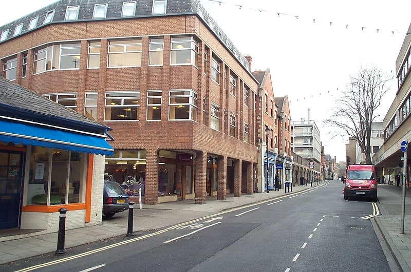
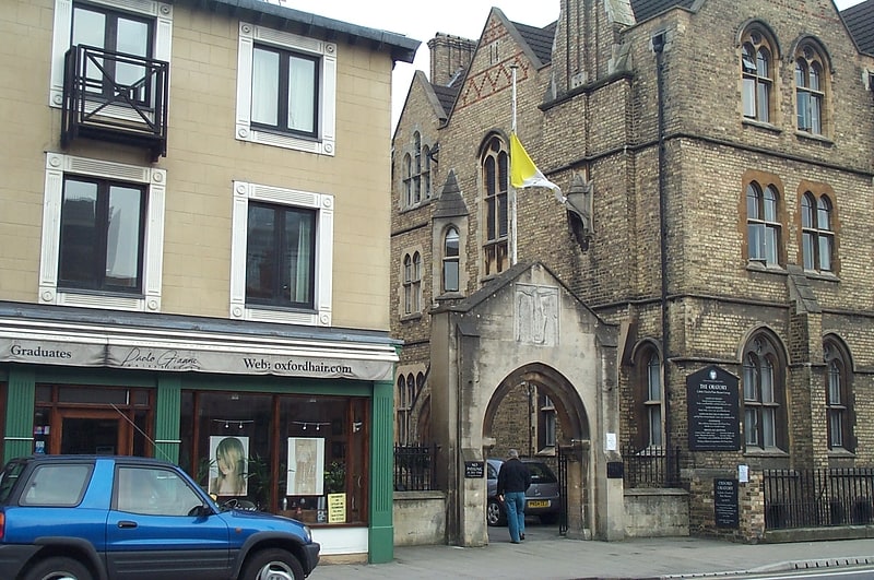
Gallery (3)
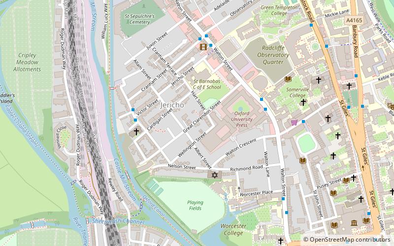
Map
Map
Gallery
Facts and practical information
Great Clarendon Street is one of the principal thoroughfares of the Jericho district of Oxford, England, an inner suburb northwest of the centre of the city. ()
Coordinates: 51°45'30"N, 1°16'2"W
Getting there by public transportation
Public transportation stops near this location
- Bus
- Train
 Bus
Bus
- Calculate routeGloucester Green Bus Station 9 min walk
- Calculate routeSt Giles 10 min walk
- Calculate routePlantation Road 10 min walk
- Calculate routeOxford 9 min walk
Day trips


Frequently Asked Questions (FAQ)
Which popular attractions are close to Great Clarendon Street?
Nearby attractions include Canal Street, Oxford (3 min walk), Tower of the Winds, Oxford (3 min walk), St Barnabas Church, Oxford (3 min walk), Art Jericho, Oxford (3 min walk).
How to get to Great Clarendon Street by public transport?
The nearest stations to Great Clarendon Street:
Bus
Train
Bus
- Gloucester Green Bus Station • Lines: 737, Lgw, Lhr, Tube, X5, X90 (9 min walk)
- St Giles • Lines: 853 (10 min walk)
Train
- Oxford (9 min walk)