Jericho Tavern, Oxford
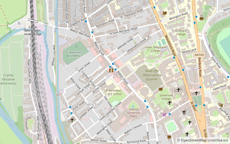
Map
Map

Facts and practical information
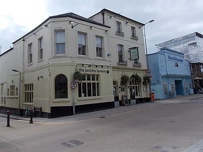
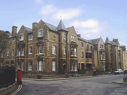
The Jericho Tavern is a music venue and pub in the Jericho area of Oxford, England, at 56 Walton Street. In the late 1980s and early 1990s it was an important part of the music scene which spawned Ride, Radiohead, and Supergrass. ()
Coordinates: 51°45'37"N, 1°15'60"W
Address
56 Walton St, Jericho, Oxford, OX2 6AEJericho and OsneyOxford
Contact
+44 1865 311775
Social media
Add
Day trips
Jericho Tavern – popular in the area (distance from the attraction)
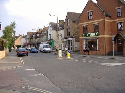
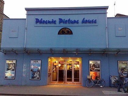
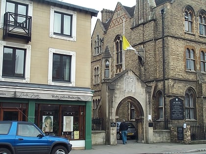
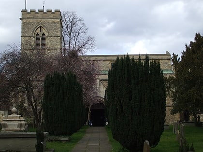
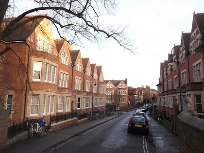
Nearby attractions include: Walton Street, Little Clarendon Street, St Barnabas Church, Phoenix Picturehouse.
Frequently Asked Questions (FAQ)
Which popular attractions are close to Jericho Tavern?
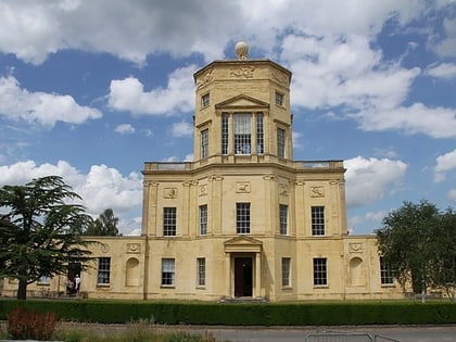
Nearby attractions include Art Jericho, Oxford (1 min walk), Tower of the Winds, Oxford (1 min walk), Observatory Street, Oxford (3 min walk), Juxon Street, Oxford (3 min walk).
How to get to Jericho Tavern by public transport?
The nearest stations to Jericho Tavern:
Bus
Train
Bus
- Plantation Road • Lines: 35, 853 (7 min walk)
- St Giles • Lines: 853 (11 min walk)
Train
- Oxford (13 min walk)
