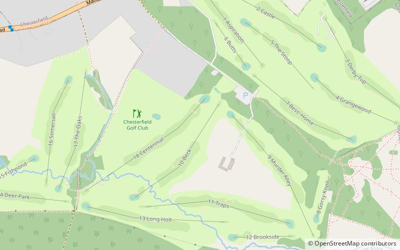
Chesterfield Golf Club, Chesterfield

Gallery (1)
Map
Map
Facts and practical information
Chesterfield Golf Club (address: Matlock Road) is a place located in Chesterfield (England kingdom) and belongs to the category of golf.
It is situated at an altitude of 397 feet, and its geographical coordinates are 53°13'2"N latitude and 1°26'58"W longitude.
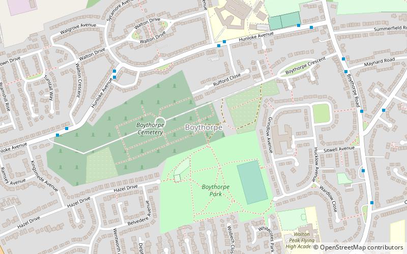
Planning a visit to this place, one can easily and conveniently get there by public transportation. Chesterfield Golf Club is a short distance from the following public transport stations: Blue Stoops (bus, 7 min walk).
Among other places and attractions worth visiting in the area are: Boythorpe (neighbourhood, 20 min walk), Ashgate (neighbourhood, 26 min walk), St Thomas' Church (church, 28 min walk).
Coordinates: 53°13'2"N, 1°26'58"W
Getting there by public transportation
Public transportation stops near this location
- Bus
 Bus
Bus
- Calculate routeBlue Stoops 7 min walk
- Calculate routeDavian Way 9 min walk
- Calculate routeCherry Tree Farm 10 min walk
- Calculate routeFoljambe Avenue 12 min walk
Day trips


Frequently Asked Questions (FAQ)
How to get to Chesterfield Golf Club by public transport?
The nearest stations to Chesterfield Golf Club:
Bus
Bus
- Blue Stoops • Lines: X17 (7 min walk)
- Davian Way • Lines: X17 (9 min walk)