Boythorpe, Chesterfield
Map
Facts and practical information
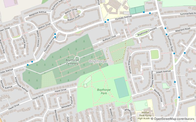
Boythorpe is a small suburb to the south-west of Chesterfield town centre in Derbyshire, England. It also borders Birdholme to its east, and Walton to its west. The area mainly consists of social housing, although Chesterfield's cricket ground is within the largest park, Queens' Park, which is located in Boythorpe on the edge of the town centre. Boythorpe has a large secondary school, Parkside Community School, which serves students aged 11–16, located on the district's main thoroughfare, Hunloke Avenue. ()
Coordinates: 53°13'38"N, 1°26'28"W
Address
Chesterfield
ContactAdd
Social media
Add
Getting there by public transportation
Public transportation stops near this location
- Bus
- Train
 Bus
Bus
- Calculate routeWilliam Rhodes School 4 min walk
- Calculate routeSycamore Avenue 5 min walk
- Calculate routeWalton Crescent 7 min walk
- Calculate routeChesterfield 30 min walk
Day trips


Frequently Asked Questions (FAQ)
Which popular attractions are close to Boythorpe?
Nearby attractions include Queen's Park, Chesterfield (13 min walk), JMJ Pottery, Chesterfield (14 min walk), Chesterfield Town Hall, Chesterfield (20 min walk), Ashgate, Chesterfield (21 min walk).
How to get to Boythorpe by public transport?
The nearest stations to Boythorpe:
Bus
Train
Bus
- William Rhodes School • Lines: X17 (4 min walk)
- Sycamore Avenue • Lines: X17 (5 min walk)
Train
- Chesterfield (30 min walk)