Sugar Loaf, Brecon Beacons
Map

Map

Facts and practical information
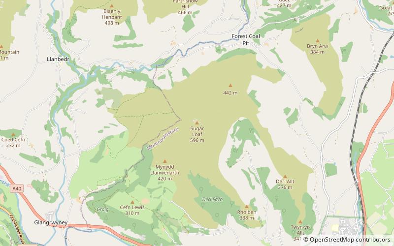
Sugar Loaf, sometimes called The Sugar Loaf, is a hill situated 2 miles north-west of Abergavenny in Monmouthshire, Wales and sits within the Brecon Beacons National Park. It is the southernmost of the summit peaks of the Black Mountains, with a height of 1,955 feet. Sugar Loaf was gifted to the National Trust by suffragette Lady Rhondda. ()
Elevation: 1955 ftProminence: 1348 ftCoordinates: 51°51'46"N, 3°3'28"W
Address
Brecon Beacons
ContactAdd
Social media
Add
Day trips
Sugar Loaf – popular in the area (distance from the attraction)
Nearby attractions include: Beacons Way, Bear Hotel, Ysgyryd Fawr, Church of Our Lady and St Michael.


