Devonfield Garden, Liverpool

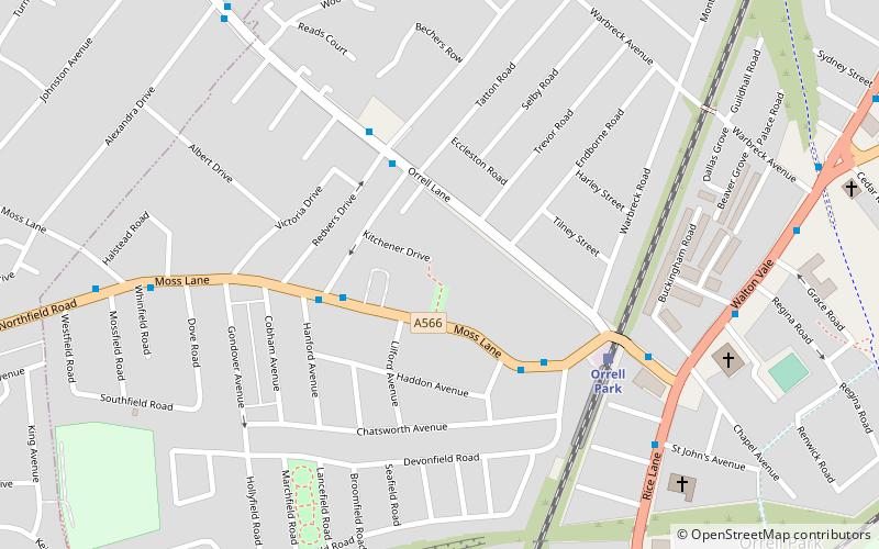
Map
Facts and practical information
Devonfield Garden is a park in north Liverpool, England. In 2010, it was one of 17 parks in the city to win a Green Flag Award. ()
Elevation: 131 ft a.s.l.Coordinates: 53°27'47"N, 2°57'58"W
Day trips
Devonfield Garden – popular in the area (distance from the attraction)
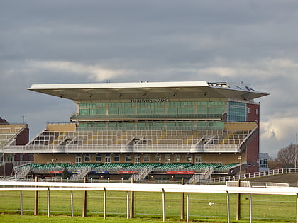
Nearby attractions include: Strand Shopping Centre, Aintree Racecourse, St Mary's Church, Everton Cemetery.
Frequently Asked Questions (FAQ)
Which popular attractions are close to Devonfield Garden?
Nearby attractions include Warbreck Park, Liverpool (12 min walk), Church of St Monica, Liverpool (22 min walk).
How to get to Devonfield Garden by public transport?
The nearest stations to Devonfield Garden:
Train
Bus
Train
- Orrell Park (4 min walk)
- Rice Lane (11 min walk)
Bus
- Bootle Bus Station (35 min walk)


