Everton Cemetery, Liverpool
Map

Map

Facts and practical information
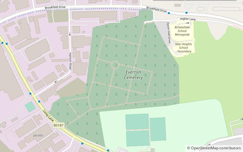
Everton Cemetery, is in Long Lane, Fazakerley, Liverpool which opened in July 1880. ()
Coordinates: 53°27'28"N, 2°56'25"W
Address
FazakerleyLiverpool
ContactAdd
Social media
Add
Day trips
Everton Cemetery – popular in the area (distance from the attraction)
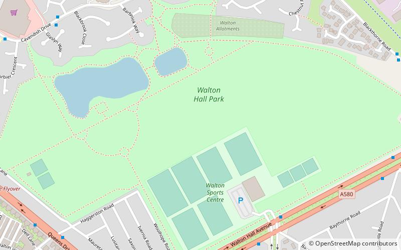
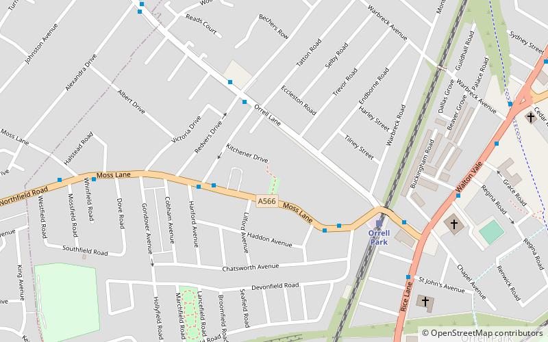
Nearby attractions include: St Mary's Church, Walton Hall Park, Devonfield Garden, Church of St Christopher.
Frequently Asked Questions (FAQ)
How to get to Everton Cemetery by public transport?
The nearest stations to Everton Cemetery:
Train
Train
- Fazakerley (21 min walk)
- Rice Lane (24 min walk)


