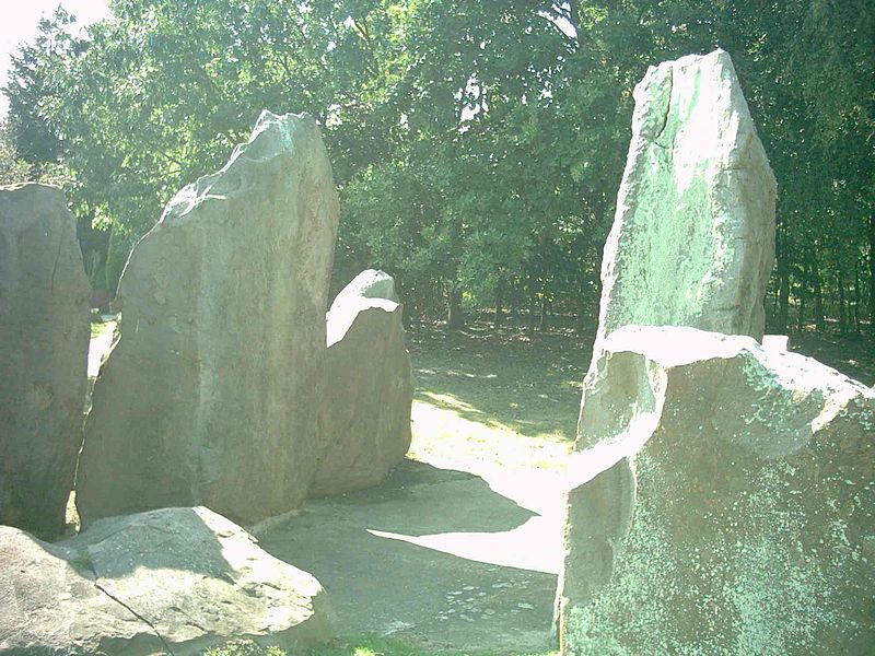
Chestnuts Long Barrow

Gallery (3)
Map
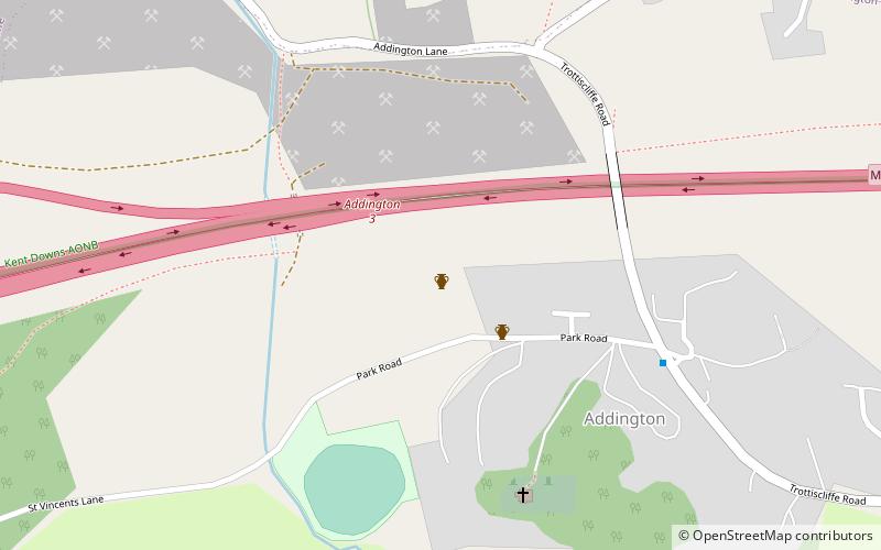
Map
Gallery
Facts and practical information
Chestnuts Long Barrow, also known as Stony Warren or Long Warren, is a chambered long barrow near the village of Addington in the south-eastern English county of Kent. Probably constructed in the fifth millennium BC, during Britain's Early Neolithic period, today it survives only in a ruined state. ()
Coordinates: 51°18'28"N, 0°22'10"E
Location
England
ContactAdd
Social media
Add
Day trips


