Lickey Hills

Gallery (4)
Map

Map
Gallery
Facts and practical information
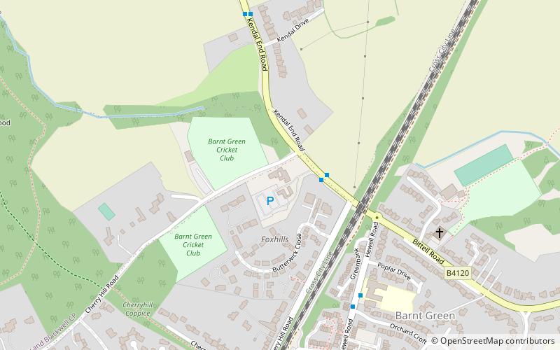
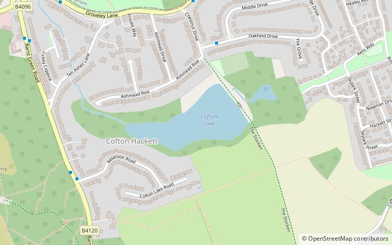
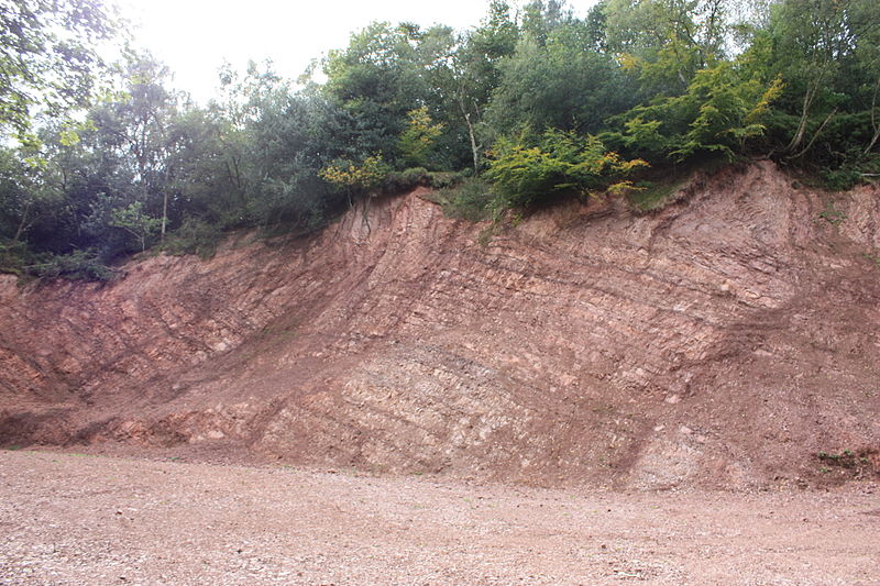
The Lickey Hills are a range of hills in Worcestershire, England, 11 miles to the south-west of the centre of Birmingham near the villages of Lickey, Cofton Hackett and Barnt Green. The hills are a popular country park area and they afford panoramic views over much of the surrounding countryside. ()
Coordinates: 52°22'36"N, 2°0'37"W
Location
England
ContactAdd
Social media
Add
Day trips