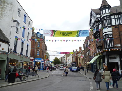
Greyfriars, Gloucester
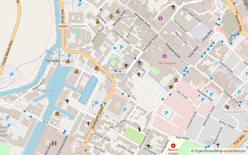
Map
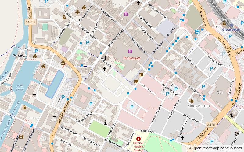
Map

Facts and practical information
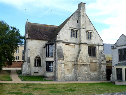
Greyfriars, Gloucester, England, was a medieval monastic house founded about 1231. ()
Coordinates: 51°51'48"N, 2°14'45"W
Day trips
Greyfriars – popular in the area (distance from the attraction)
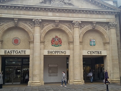
Nearby attractions include: Gloucester Cathedral, Eastgate Shopping Centre, Kings Walk Shopping Centre, Kingsholm Stadium.
Frequently Asked Questions (FAQ)
Which popular attractions are close to Greyfriars?
Nearby attractions include Gloucester Library, Gloucester (2 min walk), Museum of Gloucester, Gloucester (2 min walk), St Mary de Crypt Church, Gloucester (2 min walk), Marylone, Gloucester (3 min walk).
How to get to Greyfriars by public transport?
The nearest stations to Greyfriars:
Train
Train
- Gloucester (10 min walk)


